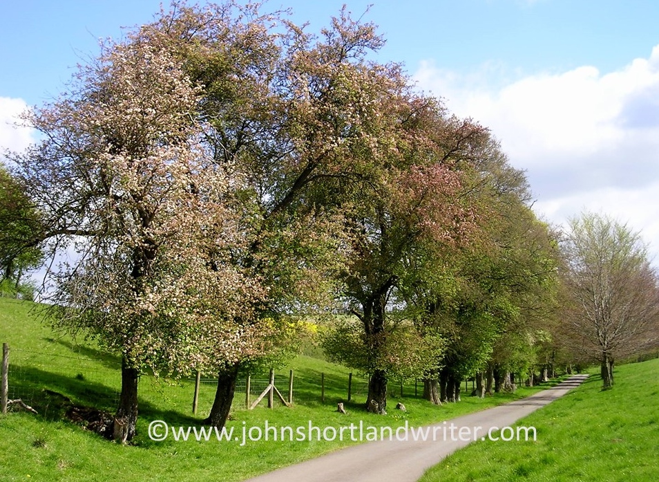
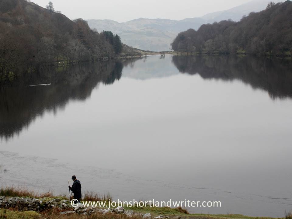
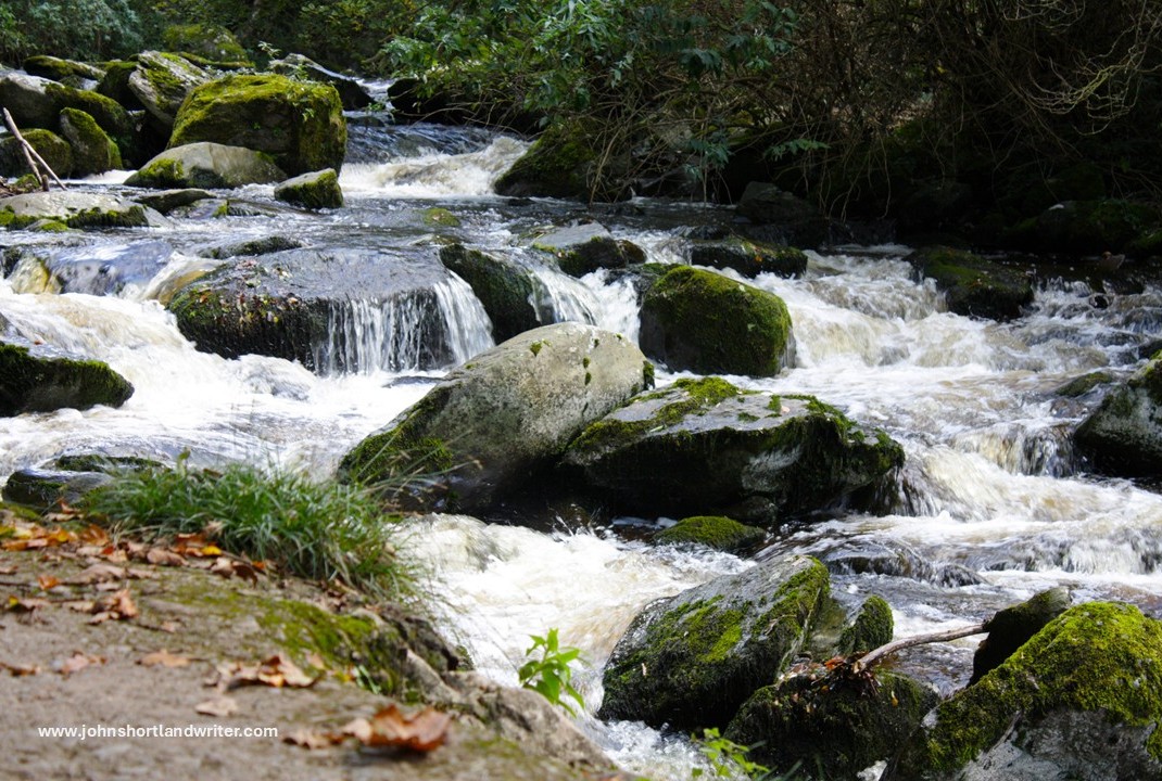
I think this title may be a little misleading, for the river that runs past our little stone-built cottage is neither deep nor that still. However, it isn’t like the raging rapids that surge through my other secret valley, the one in my beloved Exmoor. I guess it falls somewhere between the two – perhaps the title should be Still Glides the Stream after the poem by Wordsworth for the water, for much of its course through the valley, does seem to glide rather than flow.
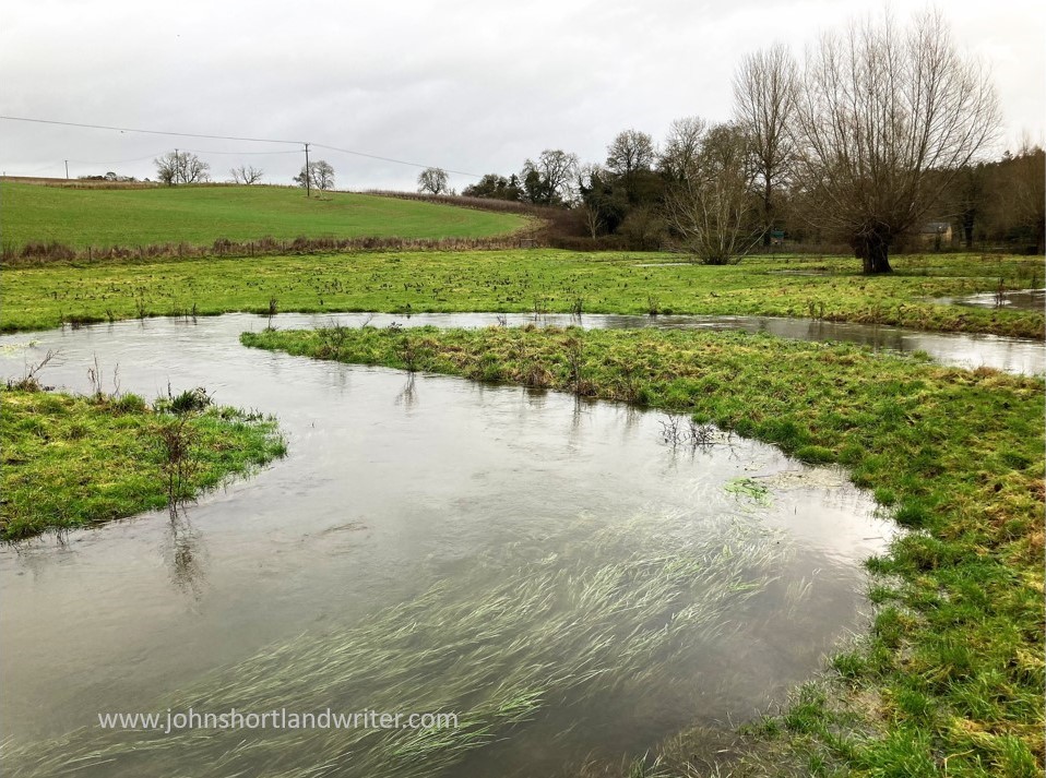
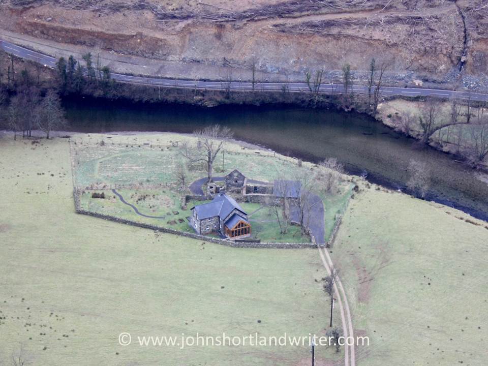
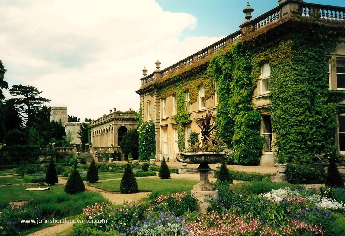
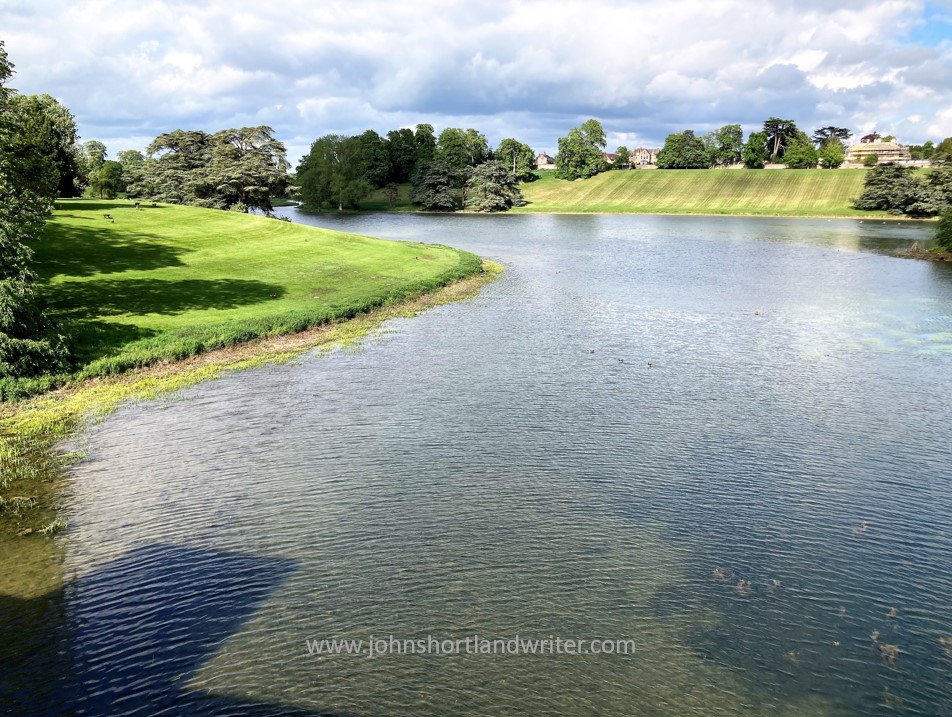
‘Our’ Cotswold river, the Glyme, starts its course in the hills above the town of Chipping Norton. There is no big fanfare to announce its rising from the ground, instead there is a marshy bit of land and a trickle of water. How surprising it is to think that this is the source of our drinking water and mill wheel power, as well as two beautiful, landscaped lakes created in the 18th century by Lancelot ‘Capability’ Brown. One of these lakes is at Kiddington Hall where, when I first moved to live in this area, I was employed as Head Gardener. Another of the lakes is at Blenheim Palace in Woodstock, a UNESCO World Heritage Site and one of relatively few Grade 1 listed gardens in the UK. By the time the water has reached these it has flown past our little stone cottage and threaded its way around the series of meanders, the photo of which I use as my blog header.
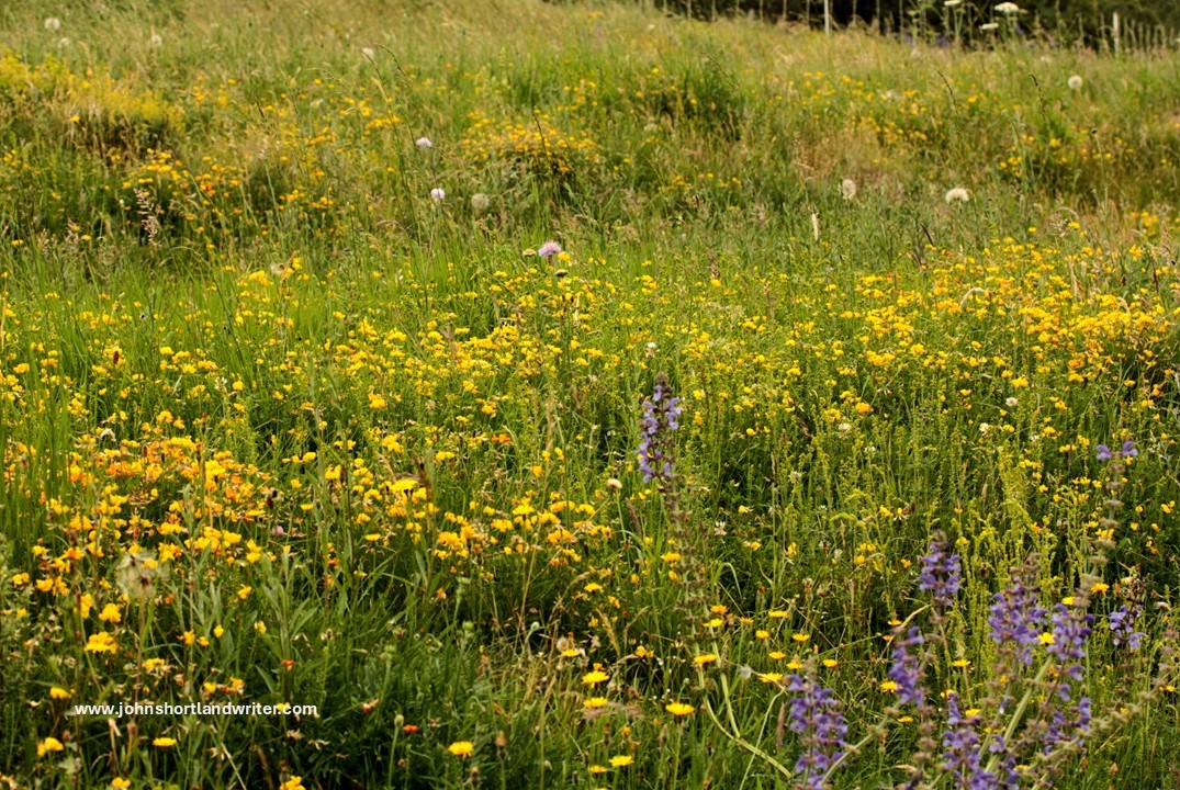
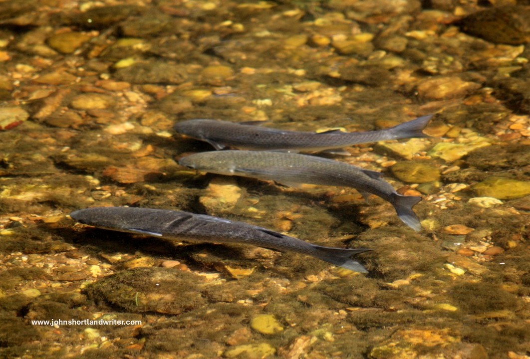
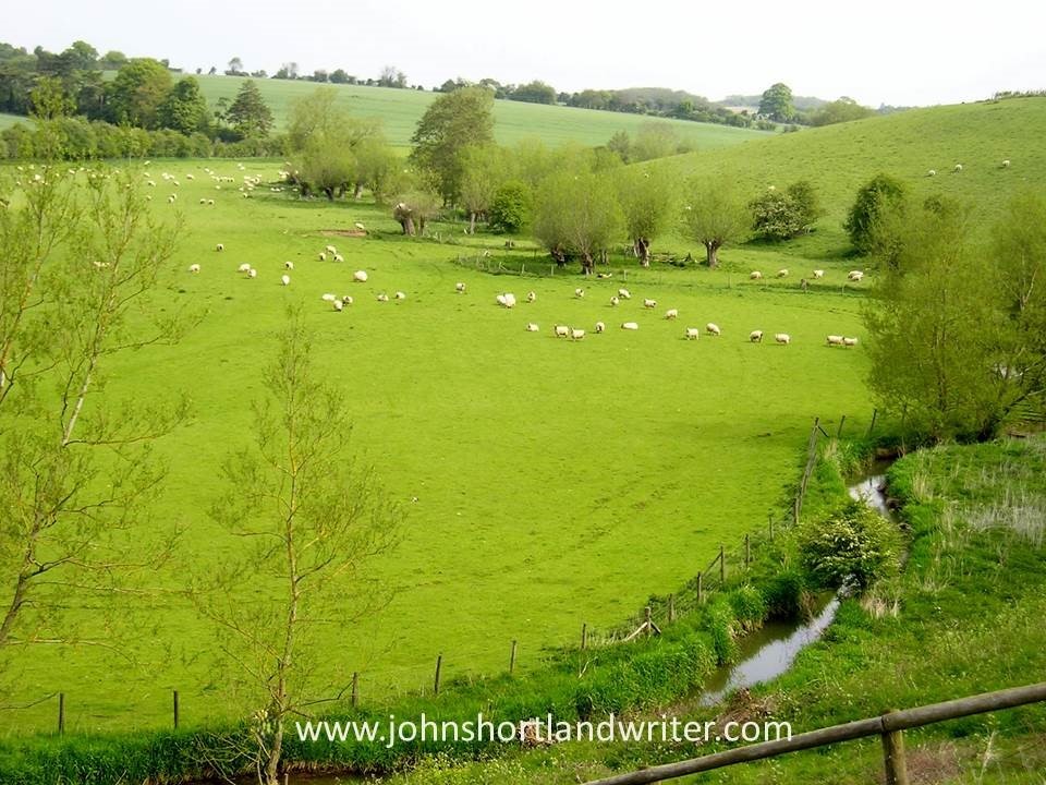
Nature abounds along the whole length of the river. At its headwaters on a series of natural terraces an abundance of rare wildflowers grow including the rare native Salvia pratense, more usually thought of as a deservedly popular garden plant. On the banks around our house and elsewhere, orchids can be found as can, on dryer spots, diminutive wild thyme (see my earlier blog, I know a bank where the wild thyme grows). In the river both native White-clawed Crayfish and their larger, hungrier cousins American Crayfish thrive, the latter crowding out the former which are now restricted to the higher reaches. Trout and pike can be caught (although the private fishing rights are jealously guarded) and the much smaller minnows – ‘tiddlers’ to us as children, stickleback and Miller’s Thumb fish are also present.
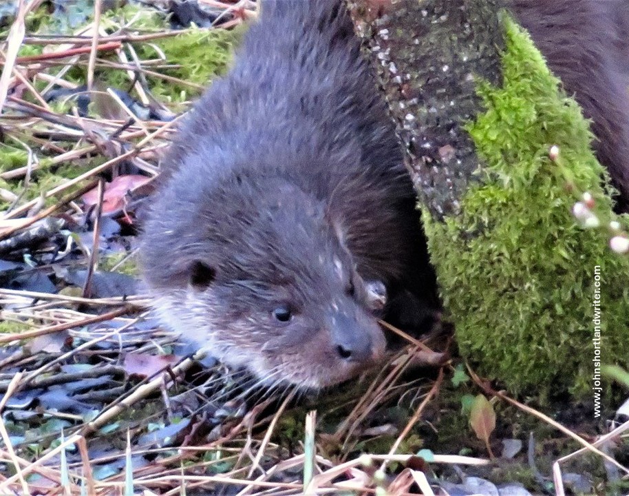
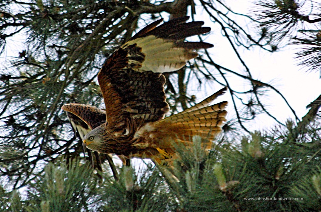
It isn’t just flowers and fish that frequent the river for many of the larger mammals live by or near it – four of the six species of wild deer in England roam here: Fallow, Roe, Muntjac and Chinese Water Deer. Roe are native, whereas Fallow were reputedly introduced by the Romans two thousand years ago; the Muntjac and Water Deer are more recent introductions. Badger, Fox and Otter are shy, mostly nocturnal and so are rarely seen other than by the lucky few. Fortunately, I have been one of them! Birdsong, especially at this time of the year, announce the many different species that visit or breed here: Red Kite, Spotted Flycatcher, Kingfisher, Little Egret being just a few of my favourites.
After Kiddington Hall, the river continues to wind its way through the villages of Glympton and Wootton where it is joined by the even smaller River Dorn. A mile upstream of that river is where we stabled our horses and like our own valley, it is secluded and not much frequented despite being very pretty. The Glyme next enters Blenheim Park, and as mentioned earlier, the river has been dammed and landscaped to create the palace’s Queen Pool and Lake. From there it cascades into the larger River Evenlode which in turn flows into the Thames a few miles from Oxford.
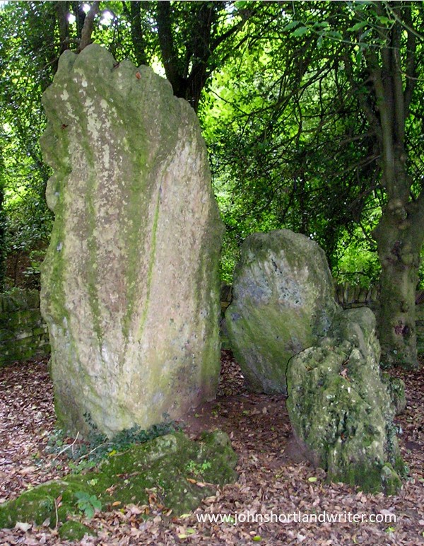
Human settlement around the banks of the Glyme didn’t just start with the Romans. Evidence of much earlier Britons can be found all along its length. Perhaps one of the most prominent, yet weirdly more often overlooked, is the hoar stone in the village of Enstone. Perhaps the reason for this is that by tradition the Old Soldier, as it is known, takes himself off to the river when thirsty to have a drink (see my blog post on the Old Soldier here). This may well be true for, despite the stones’ huge size, I have often gone past it only later to realise that I hadn’t actually noticed it being there! Further downstream there are earthworks known as Grim’s Ditch, a series of banks and ditches that probably served as boundary markers. When the ditch was being created some 3000 years ago, the Old Soldier was already 2000 years old. I rather like the thought that living and working on the land I and am part of an unbroken chain that dates back five millennia or more.
Footnote:
i) Still Glides the Stream is from William Wordsworth sonnet, written in the early 1800s – “….Still glides the stream, and shall forever glide….”
ii) Still Waters Run Deep: a proverb dating from the early 1400s or even earlier. Modern use refers to great passion hiding behind quietness. Originally it suggested that silence often hid danger and Shakespeare (who else!) picks up on this theme in Henry IV – “…smooth runs the water where the brook is deep….show he harbours treason….”