Both my partner and I like walking but, more often than not, we walk alone. Somehow it just works out like that and there is no doubt about it, that when you walk without company you do see and hear so much more. It isn’t that we chatter away non-stop – we’ve been together for far too long for that!! It’s just that with no-one to speak to, or alongside, one becomes far more aware of all that’s around you. And with only the sound from one pair of walking boots the wild creatures are less aware or concerned of your presence.

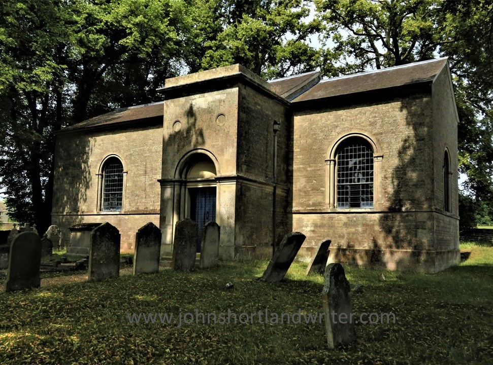
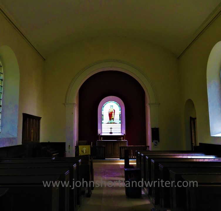
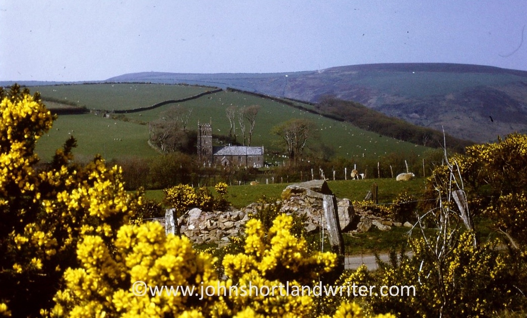
Usually, from necessity, our walks are circular – either back to the car or back to the house if we’ve started from home. Recently I cadged a lift to Duns Tew, just outside the Cotswolds but still in Oxfordshire and not that far from home and the secret valley. The village is an interesting mix of houses and makes use of their local ironstone as well as the Cotswold limestone. I find it fascinating knowing that I live on the edge of two quite different rock formations, 0ne literally as hard as iron and the other, soft and easily worked. The photo below shows the pretty church built of yellow ironstone and banded with paler limestone – a familiar pattern in the locality.

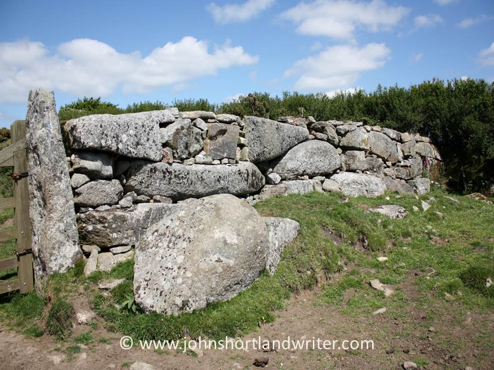
The houses vary in style and age as well as building materials. Some have thatched roofs; others slate and some stone tiles. The traditional village pub has a stone tile roof made from Cotswold stone split into thin tiles. Just to confuse the unknowing, these tiles are known locally as slates even though they are not made of slate! The craft of making these roof tiles is centuries old – they have even been found by archaeologists when excavating Roman villas (of which there are quite a few in the Cotswolds) which means the manufacture of them has remained unchanged for the best part of two thousand years. The pub also has a drystone garden wall, also made from Cotswold stone for which it is so ideal and makes such a memorable feature of the Cotswold Hills.


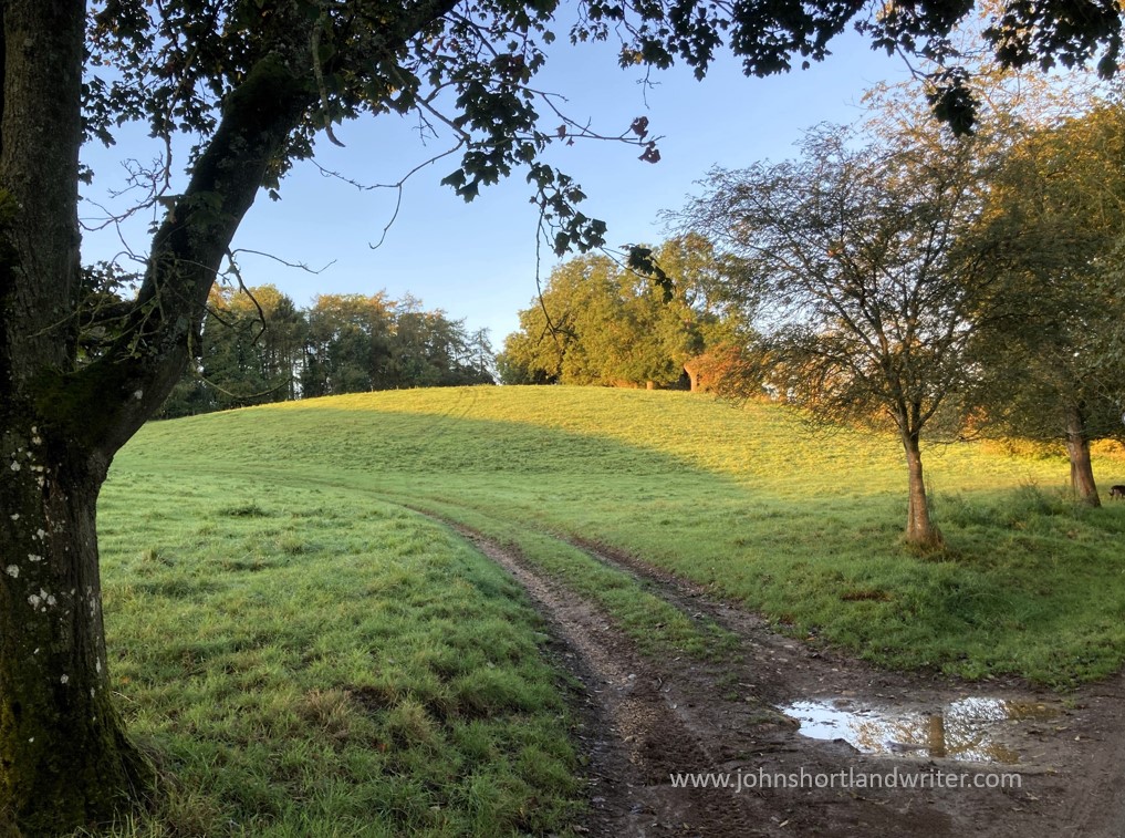
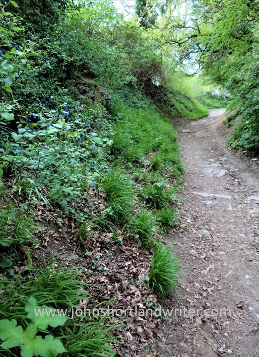
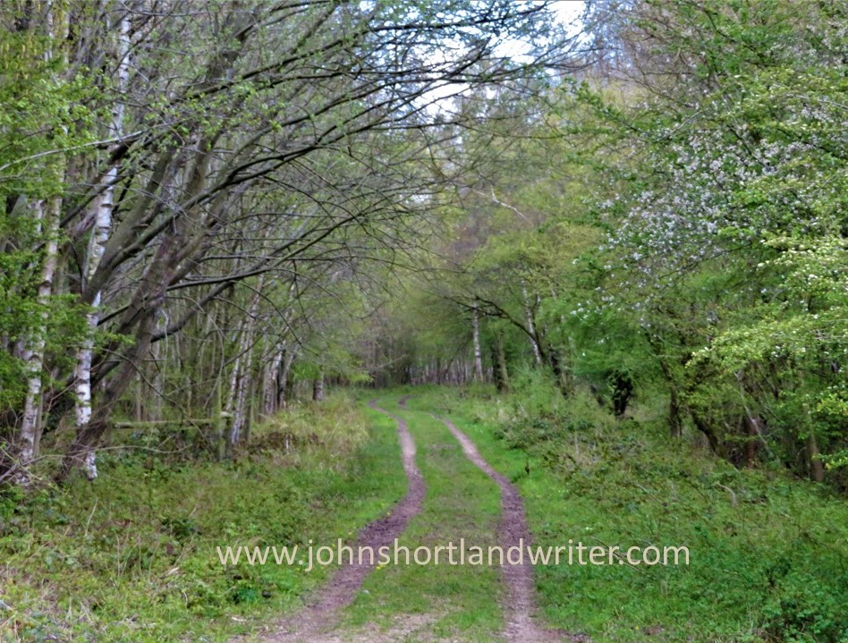
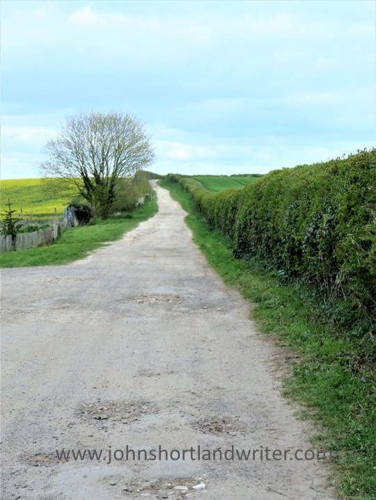
One of the great things about walking in England is that we have a huge network of public footpaths, many of which date back to pre-history. Now that I realise (thanks to my overseas readers) that being able to walk across privately-owned land by right is almost unique I intend to write specifically about them at a later date. Suffice to say here, is that it is possible to walk from one end of the country to the other over thousands of miles of paths that must not, by ancient law, be obstructed. This path is beautifully maintained by the owner. Just outside the village, partly hidden in undergrowth, were the remains of old pony carts.


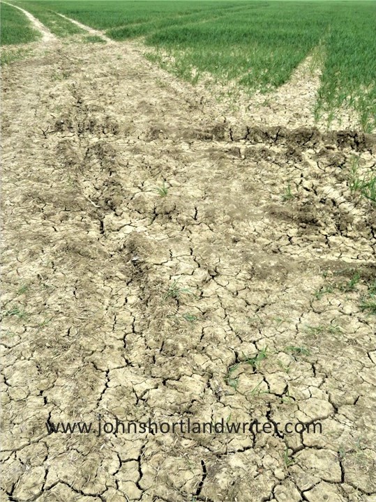
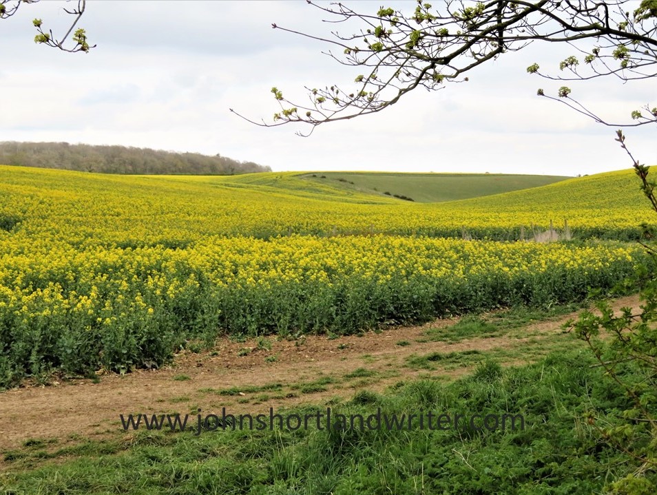
The path opened onto cornfields, the wheat harvested and the remaining stubble giving a real autumnal look to the countryside. The hedgerow is also offering its autumnal fruits for the picking – crab apples, elderberries and blackberries; the sloes although looking good won’t be ready to collect until after the first frosts. The squirrels have taken all the hazelnuts (you have to be quick to get them before they do – but already the embryo catkins, the male flowers, are beginning to appear. It will be early February before they show the familiar ‘lamb’s tails’ that release clouds of yellow pollen with the slightest breeze.


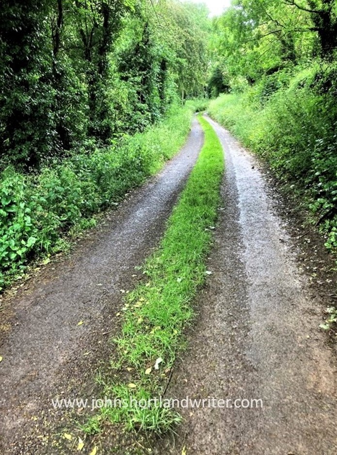
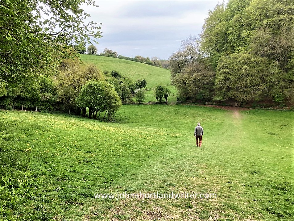
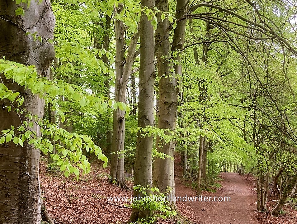
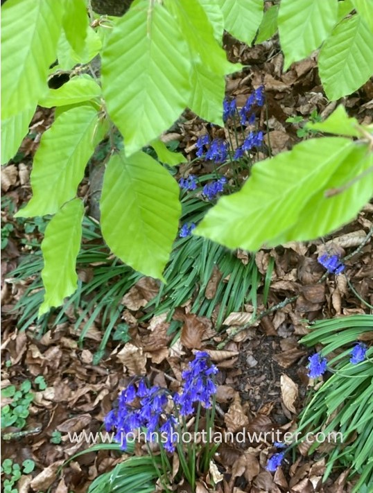
Although the path, now a wider track, looks obstructed here, the farmer/landowner has to leave the gate unlocked so that people on foot or on horseback can pass. Crossing the lane it returns to being a path, this time skirting a large wood. Now hidden by high hedgerows in the spring when the leaves are all bare, the woodland floor is carpeted with bluebells. In the centre of the field is a stand of mature oaks. Why were they left there? For me, they always have a mystical look about them; stepping into their midst the atmosphere changes as if its centuries old story is being told to those that might listen. Perhaps it’s just my imagination but the fancy is palpable.


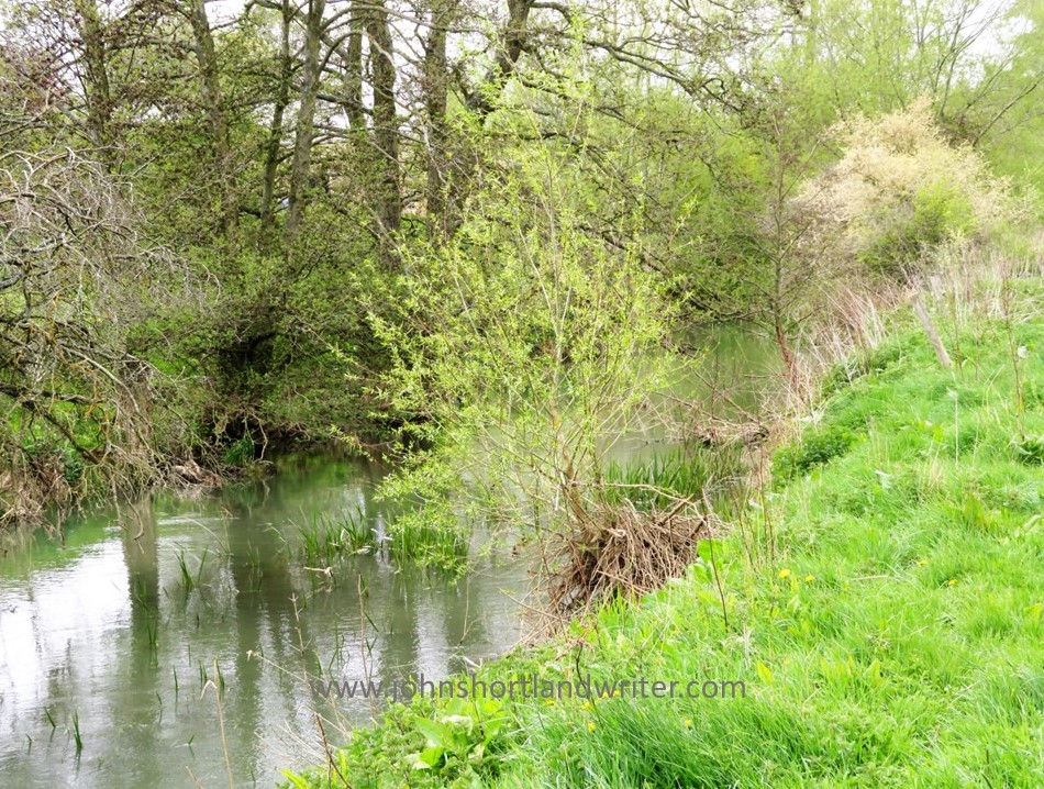
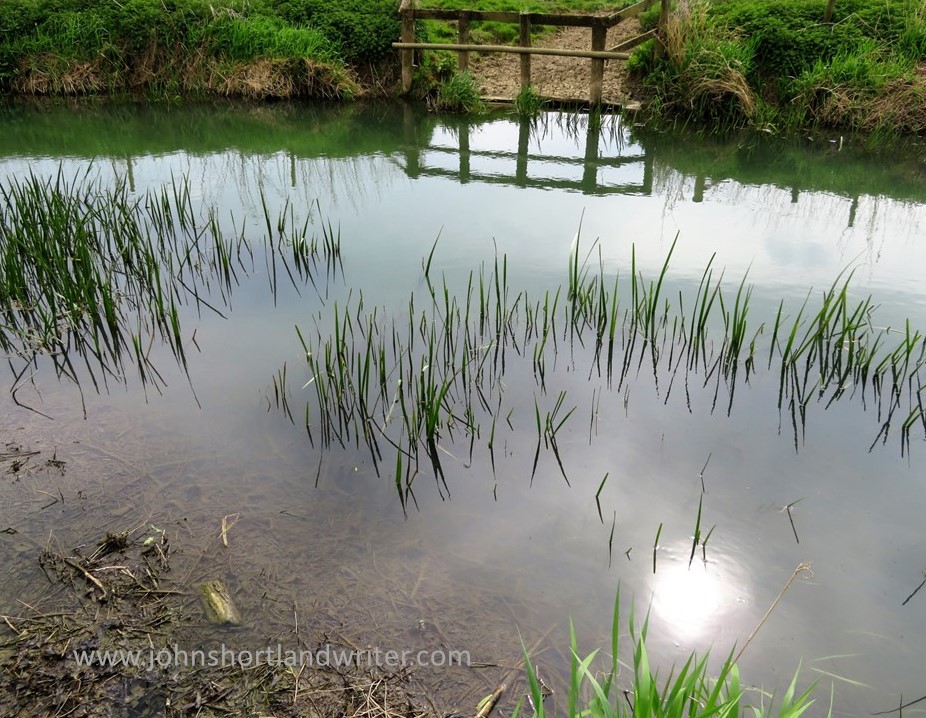
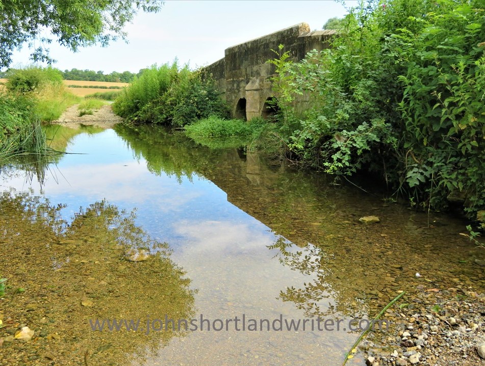
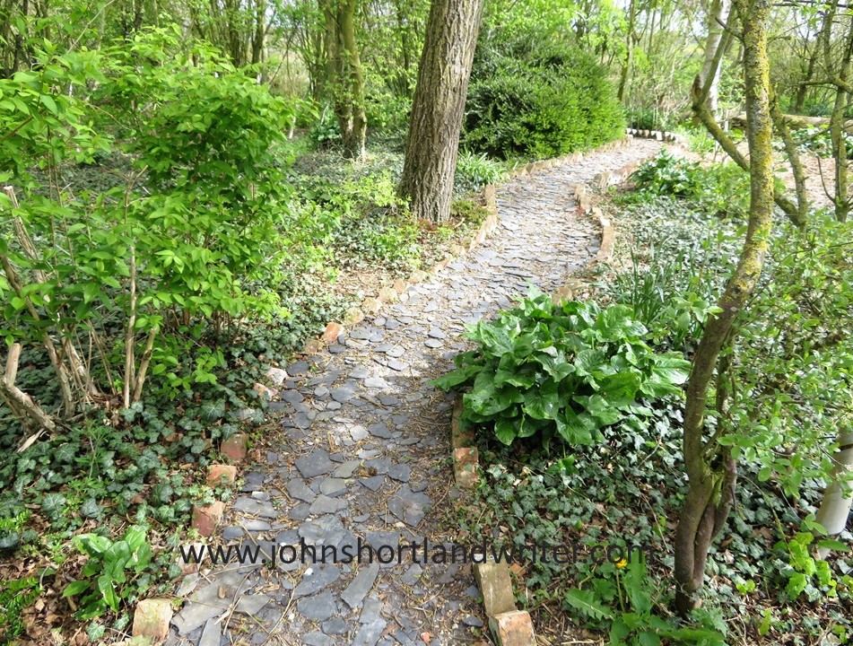
Once again the path changes character. Now a track crossing a small stream, the movement of a young coot searching for food catches my eye and we watch one another for a while before it decides that food is far more important than me. At such close range I see it snatch a small water beetle before it disappears into the undergrowth. For a while the path becomes woodland again and then opens up onto a concrete track. The concrete is all that remains of a WW2 airfield, far inland to be out of the range of German bombers. I stop to listen and am met with silence. How different the scene would have been eighty years ago.


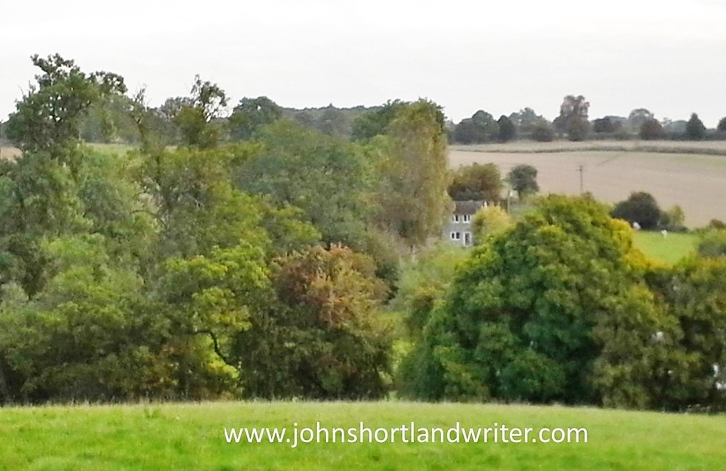
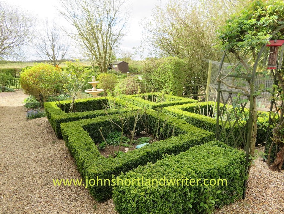
Finally back home. Being an Englishman through and through (if you ignore the foreign bits of me!) I sit on the old stone bench in the garden with a refreshing cup of tea and lean back against the walls of our own stone-built house built 170 years ago. Looking out beyond the garden I can’t help feeling how privileged I am to be seeing the best views of the whole walk!

.
.
.