Over the many years of writing this blog I have rarely posted reviews of products or of venues. From time to time such requests are made and turned down as that sort of writing has never been my intention. The few that I have written have been chosen solely on their merit – it is usually because I have come away with that ‘wow’ feeling. And so it is with this one for, as others will testify, cheese is certainly, or can be, able to give it.

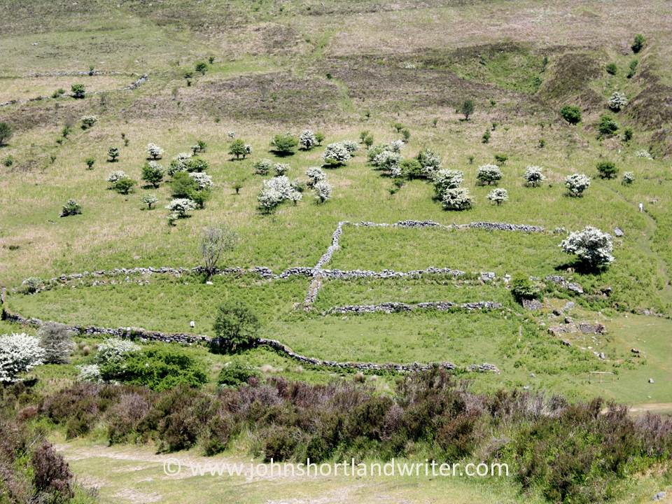
My partner and I had chosen to spend a week in the Yorkshire Dales, a National Park with spectacular scenery. Austwick is a classic north of England village – solid stone-built cottages, a church, a village green, a couple of village shops and for us, a great base for some wonderful walks over what can be challenging terrain. As it happened, it turned out to be a little too challenging as my partner is recovering from a broken foot – the cross-country walks will have to wait for another visit. Instead, we decided to explore the area mostly by car with a few short, gentle walks thrown in as ‘therapy’.

On our first outing, we had only driven two miles before we saw a sign marked The Courtyard Dairy. Not expecting too much other than an ice cream (they do those too), we were blown away by what we saw. The Courtyard Dairy – trading from a converted barn – is a family run affair and there is little doubt upon entering that they are certainly having a love affair with cheese. There are cheeses of every colour, size and consistency everywhere you look. I suppose we shouldn’t have been surprised for the fields we’d passed were full of black and white milking cattle and, of course, as every Wallace & Gromit fan knows, Wensleydale (just a few miles up the road) is famous for its cheese. There is even a black and white – plus a few extra colours – cow to greet you as you walk into the Dairy yard.

The people that run the Dairy couldn’t have been more friendly and were quick to correct us (nicely!) when we said we were staying at Austwick and pronouncing it in the typical Southern way, Oorstwick. “Oh, you mean Austwick – Aust as in Australia.” It reminded us of a time some years ago when we were up north and asked a local policeman how we reached the village of Oertop. It took some time before he realised that the person who had given us directions had said, when translated into southern speak, “over the top” which had meant we needed to take the road that went over the hill.

As with all good cheese shops, we were able to taste the cheeses before deciding which ones to buy and, needless to say, came away with a classic cheeseboard: a couple of hard cheeses, a soft cheese, a blue cheese and a goat cheese. Of course, no cheese should be unaccompanied without wine and across the courtyard there is a wine shop with a tremendous selection. A bottle of Bordeaux was suggested as the perfect partner for the hard cheeses.

Behind the cheese shop the Swinscoe family have created a small museum telling the story of cheesemaking in the Dales. The old equipment used is on display as well as boards explaining the family’s connection to the Dales, to cheese making and to farming. For me, I found the recipe notes dating from 1912 and written by Great Granny Mary Reid of especial interest for I have a few recipes similarly handed down from my Polish great-grandmother Rachel. She died in Poland before my mother was born and these precious mementos seem to give life back to these people of long ago that would otherwise be unknown.


Neither great-grandmother had, to my knowledge, a recipe for pizzas using local cheeses but if you fancy one these are also available in the restaurant attached to the Dairy. All in all, a great visit and well worth making a special trip for. However, if you are unable to find an excuse for a few days in Yorkshire an online order service and a cheese club are available. I think there’s a very good chance that I shall be joining!

The Courtyard Dairy is situated on the A65 Kirkby Lonsdale to Settle road, and about 2 miles south-east of Austwick
The Courtyard Dairy website
It is not surprising that I was so delighted to have discovered this place for it has received many accolades before: Cheesemonger of the Year in the World Cheese Awards, visits from King Charles III as Prince of Wales, Nadiya Hussein to mention just a few…
.