In Pursuit of Spooky

It’s Halloween so when can be a better time to consider what scares us and what doesn’t?  To be honest, I don’t really ‘get’ Halloween.  I don’t find any excitement in all those ghoulish faces cut into pumpkins or in the buying of fake cobwebs and skeletons.  Perhaps it’s because I don’t care for fancy dress of any kind: for me there is only a feeling of mild embarrassment on other people’s behalf as they don face paint and hideous costumes.  Quite why I should feel the need to apologise for other people’s silliness when they are obviously enjoying themselves enormously, as are those around them, goodness knows.  After all, it’s just a bit of harmless fun, isn’t it?  Possibly, but then again, possibly not.

Beneath Huntington Castle

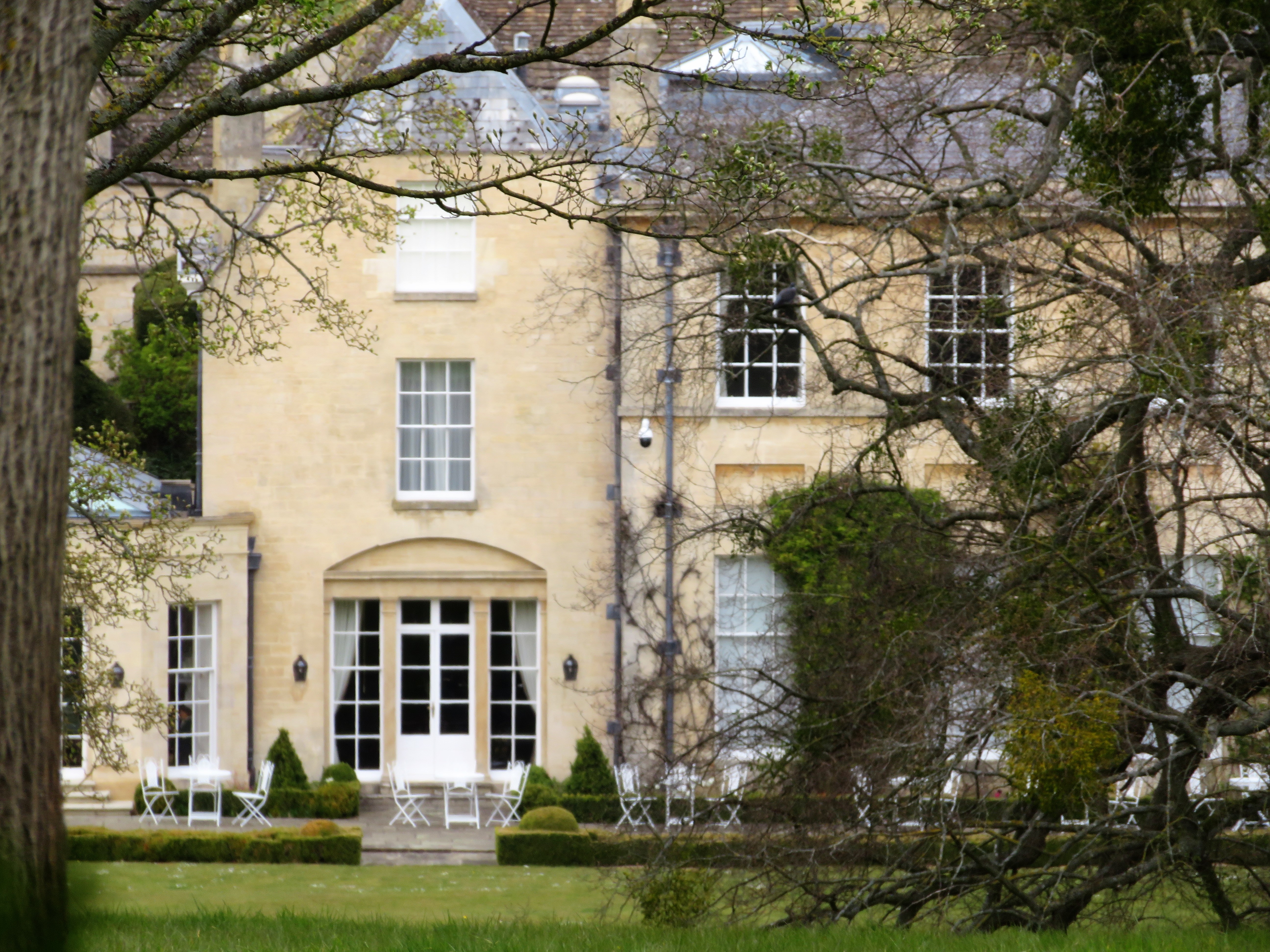
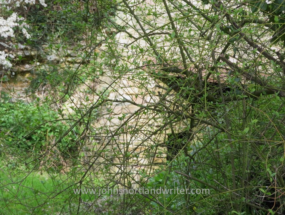
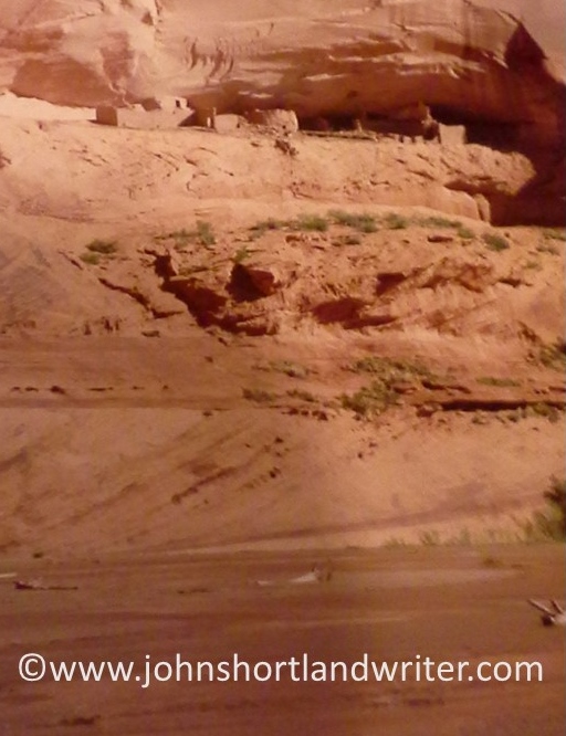
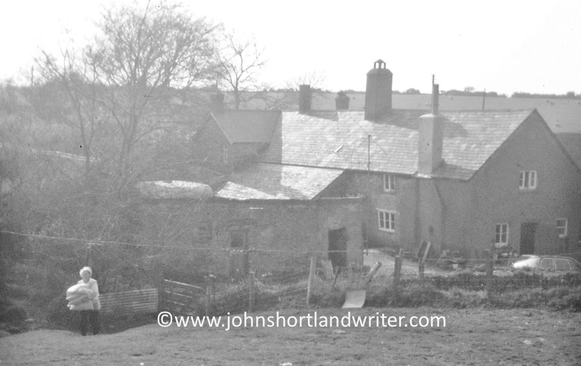
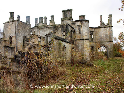
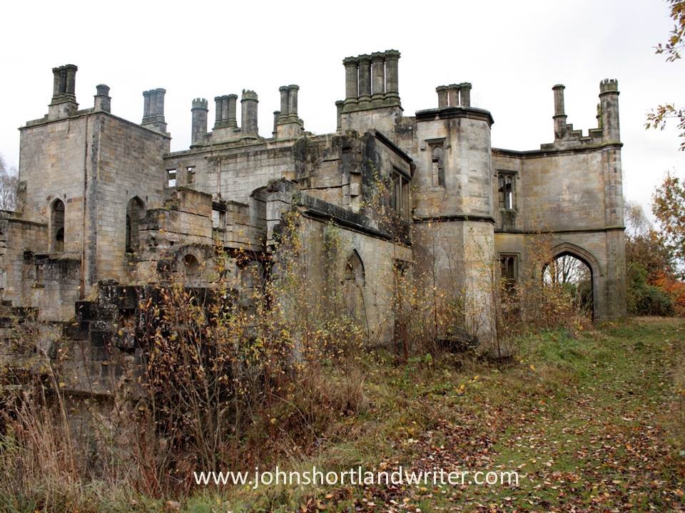
Like many teenagers, I messed around with Ouija boards without any lasting harm, but they can be a great source of trauma and anxiety for others.  It isn’t pumpkins and fancy dress that are scary, or for that matter, it isn’t the dead either, it’s the living.  And the one that’s likely to scare us the most is our living self for who knows what our minds are capable of conjuring up.  Despite my indifference to Halloween, I do like a good scary moment as much as (or perhaps even more than) the next person.  There is nothing like exploring a derelict building – especially if you can visit at dusk as I did, the old mansion in the photos below – to get the mind working overtime.

The abandoned and derelict Dunmore Park

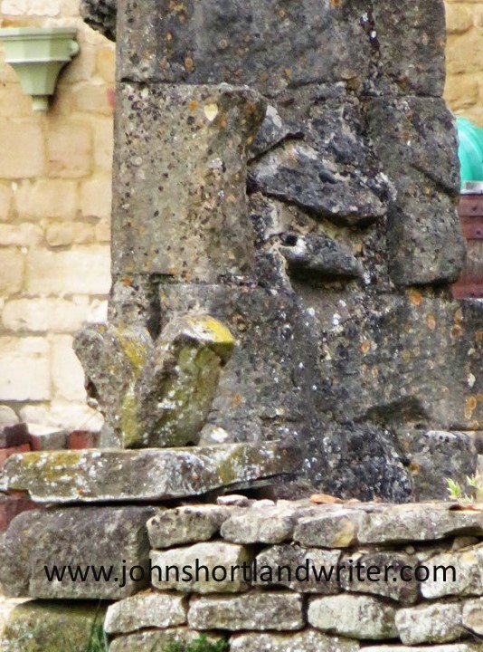
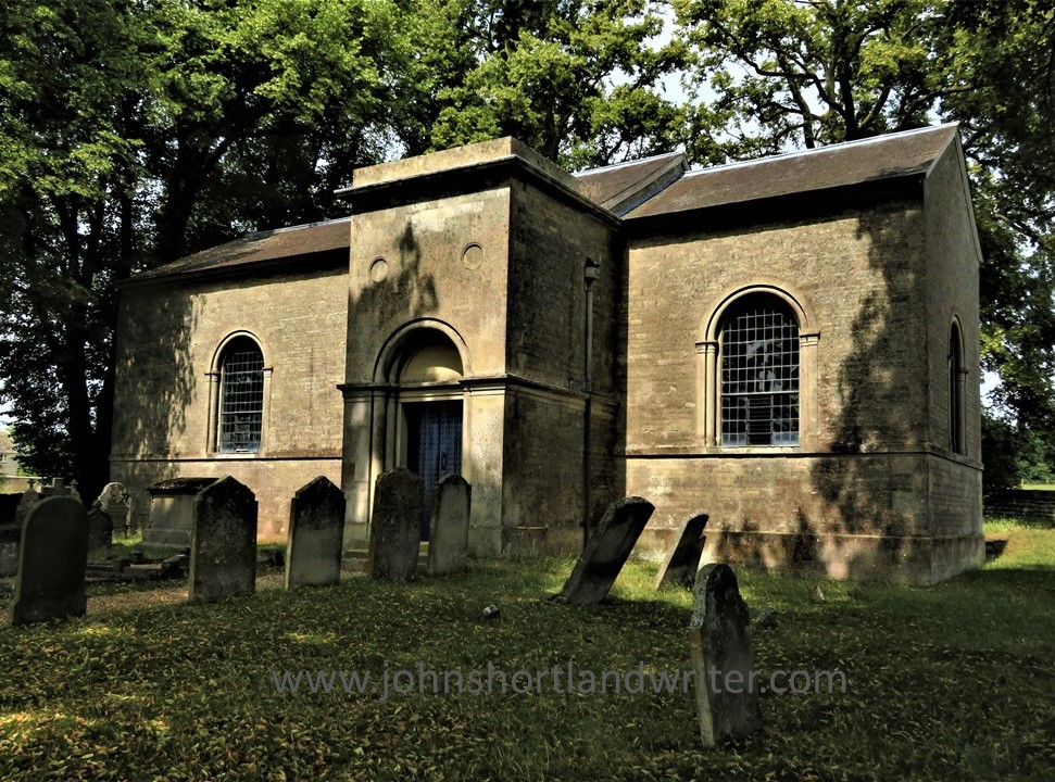
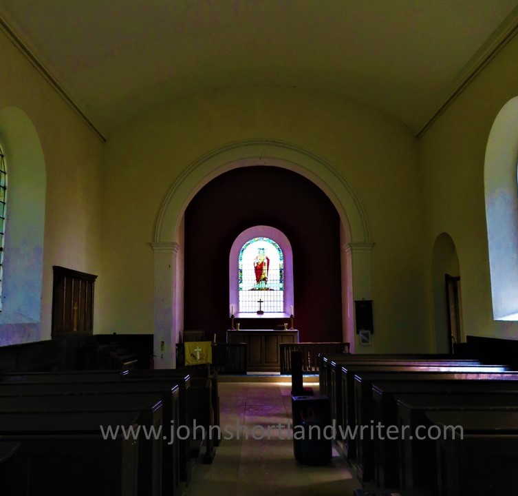
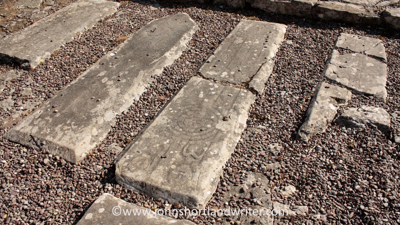
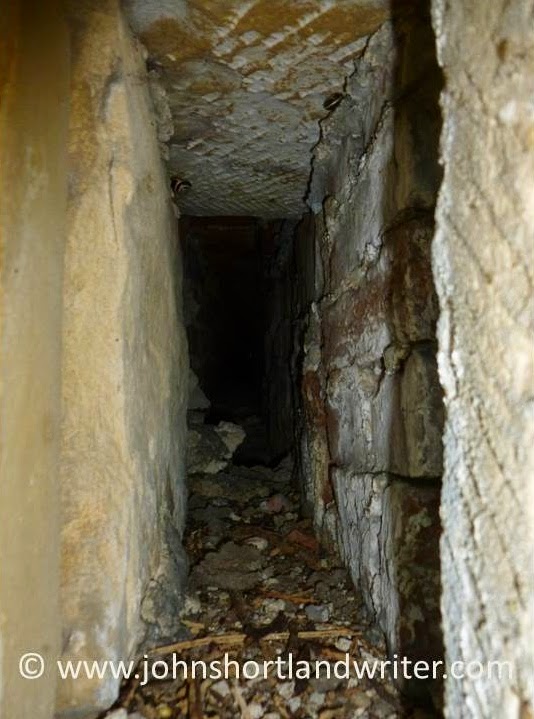
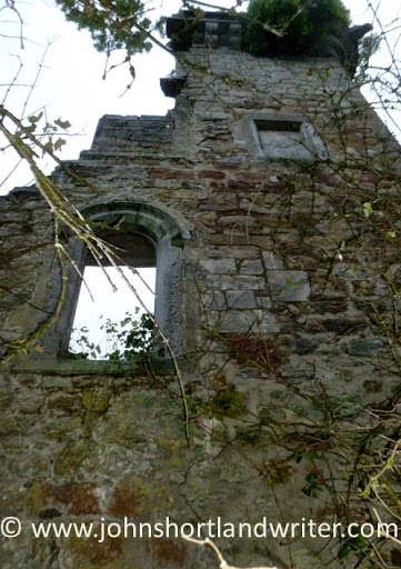
My feeling of unease only increased when, following a maze of passageways, I found myself in the cellars.  I had forgotten my mobile phone and the only source of light I had was to trigger the flash on my camera.  Of course, that only gave the briefest moment of vision before plunging me into even greater darkness.  Extracting myself from the cellars, I made my way through derelict gardens only to find an equally ruined tower.  Pushing open the door I chose not to explore further when I realised that I was entering an empty crypt – were the coffins scattered nearby, I wondered.  It was definitely time to get back home and to the land of the living.

I just couldn’t resist entering the far door…
I found myself in total darkness
The empty crypt in the tower was just a little too creepy for me!

A few years ago I received an invitation to a house party and stay overnight in a remote, medieval manor house.  Arriving, again at dusk, and expecting to find a throng of people, instead I entered an empty and dark house.  Fortunately, the electric lights worked but as I explored the building with its stone staircases and grotesque carvings I half-wondered if I was about to star in a real-life crime drama, tricked by someone with a long-held grudge.  My imagination went into overdrive when leaning against a wall of oak panelling, it opened to reveal a secret room.  I was glad when my fellow partygoers arrived and the house became a lively and wonderful place to stay.

Just one of several staircases at medieval Wortham Manor
The grotesque carvings with eyes that seemed to follow you…
The panel opened unexpectedly to reveal a secret room

Of the various creepy experiences that I have sought out or endured (depending on the circumstance) perhaps, rather surprisingly, the ones that have unsettled me most of all have been places that are normally associated with crowds, bustle and noise.  The ferry to Ireland is a case in point and an unlikely candidate for spooky.  Somehow, I became the first person to board and as I walked along empty decks and through deserted lounges, it felt rather as if I had just discovered the Marie Celeste.  Of course, it was only a very short while before other passengers arrived but not before I’d begun to think that others must have known something that I didn’t and had decided to stay away.

The deserted ferry to Ireland was surprisingly spooky
What had happened to all the other passengers???

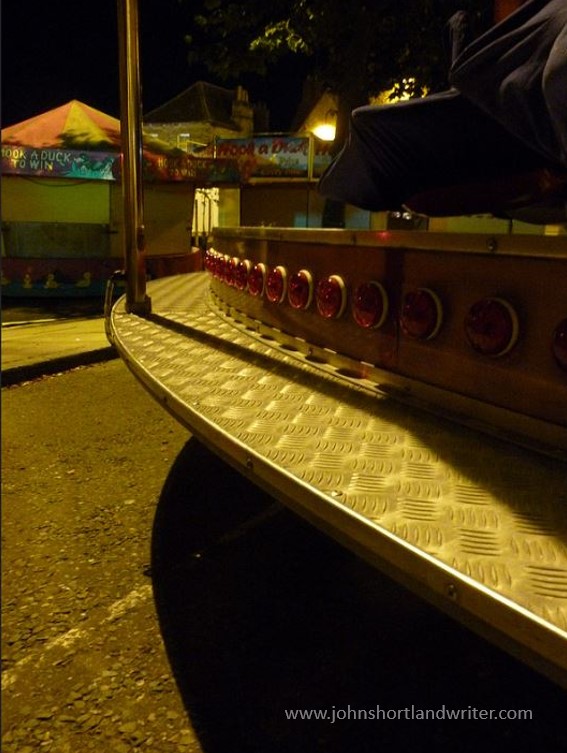
Perhaps the very creepiest place I’ve experienced was also the one I would have least expected it to be.  Walking home late one night I decided to take a short cut through the fairground which had closed a couple of hours earlier.  Associated with noise, excitement, music and flashing lights, the area was silent and deserted.  There was no danger but around each corner I expected to find someone lurking in the shadows, not helped by the ghoul I came across hanging from a scaffold behind the blacked-out House of Horrors.  Arriving back home in the darkness and silence of the secret valley I was met by the reflection of a hundred eyes watching me.  Fortunately, they were real-life sheep and thankfully, not the ghosts of countless Sunday roasts coming back to haunt me.

The deserted fairground: shadows and surprises around every corner…
That made me jump!
Being watched as I walk home late at night

So, what do you like/dislike about Halloween? What scares you the most? I will be intrigued to know!

.

.

.

In The Footsteps of Clare

The days have been unseasonably dry and the nights exceptionally cold for April but day after day of unbroken sunshine has meant that it has been particularly good to be outdoors.  The warmth tempered by a gentle north-easterly has created perfect walking conditions.    However, as is so often the way, the day I chose to wander along the byways that criss-cross the border of Lincolnshire, one of England’s largest counties, and Rutland, England’s smallest, there was more cloud to be seen than for weeks.

The Ford at Aunby – where the walk begins and ends

My walk began at the ford by the tiny hamlet of Aunby, a few miles north of Stamford.  Stamford has been described as “the most perfect stone town in England” as well as being voted the best place to live.  It certainly is a beautiful place to explore with numerous, fine churches as well as a great Friday market and a wealth of independent shops.  Whereas Stamford has prospered through the centuries, Aunby suffered a dramatic decline: in the fourteenth century there were numerous houses and a church; today, apart from a few cottages, they only show as cropmarks.

A quiet seat in Stanford
Stamford Market before the crowds arrive…

Heading north-west along a grassy bridleway, the path climbs gently until a narrow lane with wide, grassy verges is reached.  One of the many roadside nature reserves in the county, the late spring meant that the only wildflowers to be seen were cowslips which grew in plentiful splendour.  Following this lane uphill  to the elaborate, black and gold entrance gates of Holywell Hall where I turned left, glimpses of the mansion could be seen through the hedgerow that lined the lane. Both the house and grounds are immaculately cared for although I admired most of all the winding path cut through a splendid swathe of dandelions in full bloom.  Considered by many a nuisance ‘weed’ to be sprayed out rather than a wildflower to be kept, dandelions are a great source of early nectar for bees and other insects as well as looking beautiful in their own right.

The entrance to Holywell Hall
Holywell Hall
The dandelion meadow at Holywell Hall

Crossing the county border into Rutland my route immediately turned left onto a forest track to take me up to Holywell Wood and into Pickworth Great Wood.  It was here that I met a local couple exercising their black Labrador dogs, the only people I saw on the whole of my eight-mile walk. They told me that the area was one of the largest woodlands locally as well as being a Site of Special Scientific Interest, designated for its geology as well as its wildlife – a fact confirmed by the NatureSpot website (click here for more information). The woodland path was lined with primroses, the trees just breaking bud and coming into leaf but, sadly, I was too early to hear the nightingales sing. 

Crossing into England’s smallest county
The path through Pickworth Great Wood

Beyond the wood, the path crossed diagonally over unseasonably dry arable land to the village of Pickworth.  It was at this point that I really felt that I was walking in Clare’s footsteps although we can safely assume that he knew most, if not all, of the paths that I would be taking that day.  John Clare, the Peasant Poet, born into poverty and distraught by the destructive changes to the countryside and its people at that time, died in 1864 in the Northampton General Lunatic Asylum.  It was at Pickworth where he laboured in the lime kiln which inspired him to write the poem The Ruins of Pickworth (click link here to read).  The lime kiln still stands although it is barely visible through a thicket of blackthorn.

No muddy boots this unseasonably dry Spring
The barely visible lime kiln where the Peasant Poet, John Clare, toiled

 Pickworth, like Aunby, is another village that has almost disappeared.  Thriving in the 1300s, it now has a population of less than a hundred.  The only sign of the old village is the crumbling stone arch of the church and various grassy mounds and ruts in the surrounding fields. The arch stands on private property but with the help of the camera, details of ornate mouldings and leaves could be seen. It is thought that the Battle of Losecote Field in 1470 fought two miles from the village may have been the cause of its depopulation.

All that remains of the old church at Pickworth is the 13th century arch
Pickworth Old Church – detail

Although the association of Pickworth with Clare is important, to visit the Church of All Saints was the main purpose for my walk.  Built in 1822 at the bequest of Joseph Armitage of Wakefield, Yorkshire, it is a rectangular, stone building of plain beauty and fine proportion.  Set high on a bank and surrounded by trees, the interior is simply lime-washed, the only colour a small amount of stained glass above the altar.

The Church of All Saints, Pickworth
The simple interior of All Saints, Pickworth
The understated beauty of the only stained glass at Pickworth, All Saints

From Pickworth, an old drove road, The Drift, leads back towards Aunby by crossing Ryall Heath.  The road, now another old track, offers pleasing views across arable land, hedgerows filled with wildflowers and the sound of skylarks showering you from high with their song. The Drift ends at the junction with the road that takes you directly back to the start of the walk (turn left here).   Although the B4116 can be quite a busy road at times there are wide grass verges to make walking feel safe.  Finally, you reach the ford at Aunby, where this walk began.  Alternatively, a few yards before the ford you can take the lane that leads to Clematis Cottage, where I stayed for the duration of this oh-so-welcome-after-lockdown short break.

Pickworth Drift, the old drover’s road leads across Ryall Heath
Pickworth Drift, an ancient drover’s road

Clematis Cottages at Lodge Farm, Aunby is a small group of buildings converted into delightful, self-catering holiday accommodation.  Richard and Kaye Griffin, friends as well as the owners, live in the farmhouse where they provide every comfort to make a stay enjoyable.  Set in extensive gardens, their aim is to be self-sufficient in vegetables, eggs and honey.  Throughout the gardens there are paths and seating areas – one of my favourites is the summerhouse overlooking the small lake, a haven for wildlife.  Although set on its own and surrounded by fields, Stamford is only six miles away and the internationally renowned Rutland Water, where you can watch rare ospreys nest and fish, ten miles away.  It’s also the perfect base for the nearby Burghley Horse Trials.  To find out more about staying in one of the cottages and their range of home-produced chutneys, preserves and honey click this link here.

A corner of the pretty gardens at Clematis Cottages, Aunby
A winding woodland path in the gardens of Clematis Cottages, Aunby
Deer are frequently seen in the fields adjacent to Clematis Cottages, Aunby

Notes:  the walk is a relatively easy and gentle route mostly along roads and tracks.  In places the paths can be uneven and/or muddy but neither should deter anyone with average health and mobility.  Although there are some inclines none are prolonged or steep.  However, as always, care should be taken and appropriate clothing and footwear worn.  It is approximately eight miles in length so allow a good three hours to complete.

Visiting Canyon de Chelley

For most people living outside the United States – and perhaps a large number of Americans too – the word ‘canyon’ sums up the deep and stunningly beautiful chasms of the Grand Canyon.  Certainly, for me, so familiar with those dramatic images from my earliest schooldays, television documentaries and travel journals, I had never considered that there might be any others.  Or that they could be very different in character.  Then I visited the Canyon de Chelly (pronounced ‘dee shay’).

Canyon de Chelly copyright

The Canyon de Chelly National Monument is located in the north-east of the state of Arizona and fully within the Navajo Nation.  Today about forty Navajo families live there.

Canyon de Chelly (2)   copyright

Unique amongst the National Parks, the Canyon de Chelly is privately owned by the Navajo Nations Trust and is jointly managed by them and the National Parks Service.  This arrangement was agreed after many years of negotiation in 1931.

Canyon de Chelly (3)   copyright

Strict controls on entry are enforced to preserve the floor of the canyon with most parts  accessible only when accompanied by a Navajo guide.  One trail, the White House Ruin Trail, is an exception and it is the one that I explored, now a number of years ago, hence the rather poor quality of the images.

Canyon de Chelly (7) copyright

Long before the Navajo came to the canyon it was occupied first by the Anasazi and then the Hopi peoples making the canyons one of the longest continuous inhabited places on the continent.  These early peoples built their homes not just along the valley floor but also in niches hundreds of feet up in the sheer rock face, reached by toeholds in the rock.  The ruins are now preserved.

Canyon de Chelly (5)   copyrightCanyon de Chelly (4)   copyright

Sadly, I had very little time to explore the canyon but for my visit the weather was perfect, warm and sunny.  On the drive leaving Arizona, we were caught in a duststorm – another new experience for an Englishman used to the benign British climate where extreme weather of any kind is virtually unknown.

Canyon de Chelly (6)   copyright

For further information:
Canyon de Chelly National Monument

History of the Canyon de Chelly

Visiting Canyon de Chelly

A Hidden Exmoor Walk

I have misgivings about sharing this walk for it is a favourite of mine: in the 48 years that I have known it I have rarely met anyone other than those that work the land here. Do I want to encourage others to discover its beauty? I’m not sure.

This circular walk begins with the open expanses of Brendon Common but follows more sheltered winding lanes before descending through beech woodland to Rockford and the East Lyn River. A steep climb past Brendon church returns you to the moor. How long does it take? There’s no easy answer to this – allow two hours although experience tells me there are so many distractions along the way, including the Rockford Inn, that it can take much, much longer. Whether you want a quick sprint or a leisurely amble good supportive footwear is essential as is the ability to climb hefty hills.

Brendon Common (14)   copyright

Brendon Common


There is plentiful parking at Scobhill Gate, the cattle grid on the B3223 that denotes the westernmost boundary of Brendon Common. From here walks radiate across the 2000 acres of heather moorland but our route takes us over the cattle grid into farmed country and turns right by the hairpin bends at Brendon Manor Stables.

Scob Hill Gate   copyright.jpg

Scobhill Gate


After a few hundred yards the road, which is flanked by hedges of hazel, ash, furze, bramble and bilberry (known locally as wurts), meets Gratton Lane. This is very much ‘home’ territory for me, for it is here at Brendon Barton that I arrived as a lad to work and play in 1968. Opposite the farm there are fine views of Brendon church and in the far distance Countisbury Common and the sea.

Lil @ Brendon Barton 1968   copyright

Brendon Barton 1968

Brendon Church 1968 (2)   copyright.jpg


Walking along Gratton Lane is lovely at any time of the year but is at its best in spring when the beech hedges are bursting into leaf and primroses and bluebells nestle at their feet. These banks are an ancient method of providing shelter, as well as a barrier to livestock, from the fierce gales and snowstorms that sweep in from the Atlantic. The banks stand about five feet in height, lined with stone with the beech planted above.

Above Brendon Barton (2)   copyright.jpg

Gratton Lane


Just as the lane starts to descend it enters woodland and it is here – just past the warning sign denoting the ford that crosses the road – that a footpath is taken to the left. The path follows a pretty stream as it tumbles over rocks down to join the East Lyn River. It is here that the unwary walker can also take a tumble as the path crosses outcrops of rock that become quite slippery when damp. This stream has everything a larger one would have – cascades, waterslides, ferns growing from niches – but all in miniature. Despite its diminutive size it once powered a sawmill.Waterfalls (2)   copyright.jpg

The mill has long been a ruin and is now fenced for safety but the rusting ironwork is still visible. Just beyond the old building the path joins the road. Turn left and follow the lane to the hamlet of Rockford. You are now walking in the Brendon valley with its beechwoods clinging to the steep hills high above, home to a number of rare rowan trees (Sorbus) unique to the area.  The East Lyn River is a major river; when water levels are low it is difficult to imagine its ferocity when in spate. In 1952 it destroyed bridges, houses and lives as it passed through the valley culminating in the flood disaster at Lynmouth where thirty-four people lost their lives and over one hundred houses were destroyed. The Rockford Inn is a good place to stop for a beer; they also serve cream teas. Just make sure that you put the cream on the scone before the jam in the Exmoor tradition! It is possible to extend the walk to Watersmeet (where there is a National Trust tearoom) by crossing the river.

ROCKFORD MILL   copyright.jpg

The Old Mill nr Rockford


East Lyn River (2)  copyright.jpg

East Lyn River


Once past Rockford the road starts to climb until it reaches Brendon church. The hill is a killer – it’s not called Church Steep for nothing! The church which nestles into the hill and looks out across the combes looks as if it has been there for centuries. In reality, it was moved stone by stone from nearby Cheriton in 1738. It is simply decorated inside but has some attractive stained glass. Brendon Barton, passed earlier, can be seen from the steps of the church. Follow the lane back to the farm; from there retrace the original route back to Scobhill Gate.

Brendon Church (5)   copyright.jpg

Brendon Barton (2)   copyright.jpg

Brendon Barton, view from the church


Happy walking!


Exmoor is a National Park in the southwest of England and straddles the counties of Devon and Somerset. Apart from miles of wonderful moorland walks, it also has the highest sea cliffs in England, pretty villages and spectacular wildlife including the majestic Red Deer. Native Exmoor ponies roam the open moor. Now a rare breed they remain virtually unchanged from pre-history.


Castleyons – an Irish Gem

The small village of Castlelyons in Co. Cork, Ireland appeared deserted when we drove into it and as we seemed to be the only car on the road there was no fear of being run over when taking the photo below. As if to confirm its silence the main street was dominated by the ruins of an old Carmelite abbey.Castlelyons   copyrightCastlelyons (2)   copyright

Little is known of the origins of the abbey for there are few surviving written records. It is thought that it dates from the beginning of the 14th century although the existing ruins are from a hundred years later.

Castlelyons (5)   copyright

The size of the nave is huge measuring over sixty feet in length and twenty in width. It is separated from the chancel by the tower which although very ruined still has its complete spiral staircase which can be climbed – but not for the faint-hearted. The chancel which is also very large (over fifty feet in length) is where the altar would have been placed. A number of grave slabs survive some of which still have visible markings.Castlelyons (7)   copyright

Castlelyons (9)   copyright

The cloister, where the monks walked and meditated, is less complete but the turf square and parts of columns gives a sense of the place. The monastery was dissolved during the Reformation and passed into private hands. Now it is a national monument.Castlelyons (12)   copyright

A mile or two from the abbey ruins is the Castlelyons Graveyard at Kill-St-Anne. At its centre is a mausoleum built about 1747. The interior is circular with just one marble monument to James Barry, Earl of Barrymore and carved in 1753. External steps lead to a crypt below.

Castlelyons (19)   copyright

Castlelyons (22)   copyright

Close to the first lies a second mausoleum, also built in the eighteenth century, for the Peard family, local landlords. Their earliest grave (dated 1683) lies elsewhere in the churchyard and commemorates Richard Peard, an ensign from Devonshire in England.Castlelyons (20)   copyright

The church – or more accurately churches – lie in ruins for a more recent one was built within the original. They date from the eighteenth and fourteenth centuries respectively. The remains of the bell tower and gothic arches are from the earlier date, the elaborate stone window which are in the later ruins are reputed to have belonged to the original church. Whatever the truth of this tale, the result is beautiful and romantic.Castlelyons (23)   copyright

The churchyard is a haven for wildlife and native flowers flourish beside mown paths. Beside the old cemetery is another, newer one still in use and equally well-maintained as were the old abbey ruins and the village itself. Castlelyons maybe off the beaten track but it is well worth making the effort to visit. It is rural Ireland at its very best.

Castlelyons (24)   copyright

Much information has been gleaned from information boards within the village and also the Castlelyons village website – link here. Apart from details of its history the website shows that despite its small size, the village social life is thriving.

The Scottish Pineapple

The statement “I have been living in a Pineapple” may give cause for surprise but is, in fact, quite true for I have just returned from a brief trip to Scotland.  To stay in a building that puts a smile on your face whenever you catch a glimpse of it ought to be on everyone’s ‘to do’ list – if it is, The Pineapple is the place to go.

e226c-the2bpineapple2b42b2b2bcopyright

Originally part of the Dunsmore Estate, it was gifted to the National Trust for Scotland in 1974 and leased to the Landmark Trust who undertook its restoration.  Neglected for very many years, the Pineapple proved to be in remarkably good condition for every ‘leaf’ was designed to prevent water collecting within it and damaging the stonework.  The remainder of the property was very unstable and derelict.

The Scottish Pineapple

When the two walled gardens were enclosed at Dunsmore in the mid 1700’s there was no ‘big house’ attached.  They were purely used for producing a supply of fruit, vegetables and flowers to be sent to the Earl of Dunmore’s home in Argyll. It was some years later (it is thought) that the Pineapple was added as a folly and summerhouse, probably after the Earl’s return from Virginia and the Bahamas where he was Governor.

The Scottish Pineapple

Why a pineapple?  In the eighteenth century, pineapples were a rare luxury that had become associated with wealth and hospitality.  They began to appear on pillars, railings and weather vanes and, indoors on fabrics and wall coverings.  The building of The Pineapple was, perhaps, the grandest of all grand gestures.

aa16c-the2bpineapple2b122b2b2bcopyright

Although the building is of such high quality in both its materials, cratsmanship and design it was barely recorded in contemporary writing and its designer remains unknown.  One possible reason for this is that it may have been just a little too ‘over the top’ even for flamboyant Georgian taste.  It is even quite probable that the Pineapple may have been painted. The doorway of the undercroft is a very accurate timber carving of Ionic pillars beyond which stone steps lead to the raised northern lawn.  From this lawn there is level access to the summerhouse.

78a9f-the2bpineapple2b192b2b2bcopyright

Either side of the Pineapple are two small cottages, formerly gardener’s bothys.  These have been fully restored by the Landmark Trust to create holiday accomodation with living room and kitchen in one and bedrooms in the other.  The north garden and the Pineapple room are for the private use of guests, the south lawn and gardens are open to the public.

2daaf-the2bpineapple2b92b2b2bcopyright

ba5c7-p10403322b2

To be able to grow pineapples required specialist knowledge and skills as well as additional warmth.  Glasshouses flanked the south wall and were heated by the use of specially constructed hollow walls.  At the foot of these, fires were lit and flues within the wall drew the heat upwards, warming the brickwork.  The four decorative urns to either side of the Pineapple conceal chimneys and because of there similarity to those at Casino Marino in Dublin (to read about this extraordinary building click here), it has been suggested that the designer could be Sir William Chambers although there is no documented evidence to suggest this.   At intervals on the southern side of the walls I found sliding stones which could be removed presumably to allow the heat to escape.

a31b0-the2bpineapple2b312b2b2bcopyright

46745-the2bpineapple2b342b2b2bcopyright

In 1820 William Wilkins, architect of the National Gallery in London, designed a house in the Tudor Gothick style.  Dunsmore Park’s glory was, however, short-lived for by 1911 the family had left although it remained occupied until 1964 after which it was abandoned.  It is now a ruin visible across the fields from the Pineapple.  Another ruin, now very unstable, and also visible from the Pineapple, is the Elphinstone Tower.  Of earlier origin, built about 1510, it became the family vault of the Dunmore family in 1836 with a church built alongside a few years later.  This was demolished in the 1960’s.  Their fascinating stories will be subjects of this blog in due course.

The Scottish Pineapple

The Scottish Pineapple

With so much history and beautiful scenery close by – Loch Lomond is only a short drive away – the Pineapple makes a great and intriguing place to use as a base for exploring the area.  The grounds are open free to the public all year but the building is at its best during the hours when you are alone to enjoy its eccentricity and splendid isolation.

The Pineapple (6)   copyright

The Pineapple at night

Links:

The Landmark Trust

The National Trust for Scotland