A Cotswold Tale for Halloween

The popularity of Halloween in the UK as a fun festival is always considered to be a relatively recent American import.  Nothing could be farther from the truth for it was only with the influx of Scottish and Irish immigrants to the USA during the 1800s that it became a major holiday there.  Halloween’s origins date back to pagan times but it was the Christian calendar that fixed the date for All Saints/Hallows Day as November 1st, (Halloween = Hallows Eve). The traditions that became attached to that, of which there are many, will have to wait another year to be written about.  This blog post is about the Witches associated with Rollright and Long Compton, our very own and tragically real Cotswold story of the Neolithic stone circle and village that lies just a few miles from our home in the secret valley.

Newspaper headlines from 1875
A section of the Kings Men stone circle at the Rollright Stones

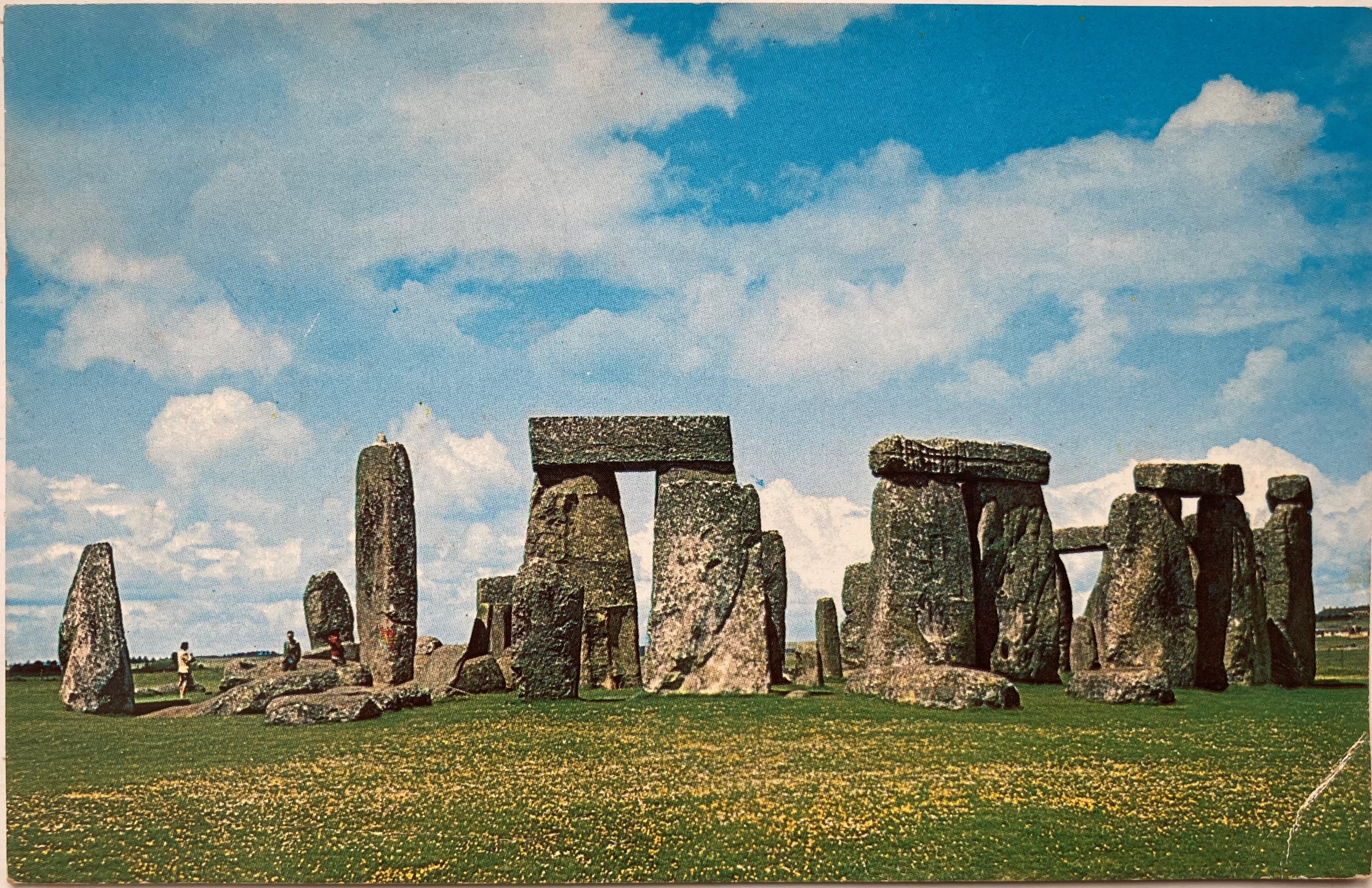
The Rollright Stones, prehistoric standing stones dating back almost six thousand years (making them a thousand years older than Stonehenge) consist of a stone circle, and a separate group of three upright stones, plus one large, solitary stone.   Local tradition has it said that the circle known as The King’s Men, The Whispering Knights – the cluster of three upright stones, and the King Stone – the large, solitary stone were all turned to stone by a witch, Mother Shipton.  As early as the 1600s the rhyme (see below) was printed telling of how Mother Shipton challenged the King to take seven steps forward to view the village of Long Compton in the valley below.  He moved forwards but failing to see it the witch turned him, his army and his scheming knights into stone.  All seems too far-fetched and unbelievable?  Then read on…

The Whispering Knights, turned to stone by witch Mother Shipton. They are a thousand years older than Stonehenge
The King Stone stands alone on the hill, still hoping to glimpse the village of Long Compton


In the autumn of 1875 80-year-old Ann Tennant left her home in the village of Long Compton to walk the few hundred yards to the bakers to purchase some bread for her husband’s tea.  It was just like any other day until she met her neighbour’s son, James Heywood.  For many years he had accused her and others in the village of witchcraft, blaming them for various deaths of both people and livestock.  He believed that their evil-eye had prevented him from completing his work in the fields.  He also claimed that they had got inside his drinking water and that was the way they were able to get inside his body and control him.  Meeting her that afternoon on the path he took his opportunity and stabbed her multiple times in the legs with his pitchfork before giving her a blow to the head and stabbing her again.  All this time, Heywood’s father stood nearby not attempting to stop him for he was also convinced there were many witches in the area.

The 17th century lychgate leading to the churchyard where Ann Tennant is buried

It was local farmer James Taylor, hearing her cries, who disarmed James and poor Ann was carried home to die from shock and loss of blood some hours later.  At the inquest, Taylor and a fifteen-year-old lad who had also witnessed the murder gave evidence.  Held in the village pub, The Red Lion, they told of the scene they had witnessed.  Ann’s husband spoke next telling of how the boy’s parents had always said witches wouldn’t leave their son alone.  He also told of how a limb from a tree had fallen onto the boy, leaving him with a scar, and that, too, was blamed on witchcraft.  When Ann’s daughter gave evidence Heywood shouted out, “she’s one as well.  I can name them all and will kill them all.”  Later, at his trial at Warwick Assizes, he was acquitted on grounds of insanity and sentenced to life in Broadmoor mental asylum where he died in 1890.

The Red Lion pub at Long Compton where the inquest into Ann Tennant’s killing took place

You would be forgiven to think that witchcraft and superstition died out with the death of poor Ann Tennant.  Move forward to 1945 – so within living memory for some – to the village of Lower Quinton, some fifteen miles away from Long Compton.   Farm labourer Charles Walton failed to return home from work.  His body was found later that day: his neck had been slashed using his bladed hedging tool and he had been stabbed and pinned to the ground by his pitchfork.  Some reports state that a cross had been cut into his chest.  Several days later a black dog was found hanging from a tree near to the murder scene.

Hedging tools like the ones used by Charles Walton. It was the long-handled slasher on the left
that was used in his killing

It was not until twenty-five years later that Chief Inspector Fabian of Scotland Yard who had led the investigation spoke openly of links to witchcraft.  Apart from warning others not to take part in it he also told of how, when searching the area, he saw a large black dog run past him.  When he mentioned it to a farm lad the boy had turned pale and ran away.   Fabian also told how when questioning local people about the murder, he’d been told that some years earlier a headless black dog had been seen by Charles Walton on nine consecutive days – the following day Walton’s sister died.  Perhaps it was this and his keeping of toads as pets that made some wonder about witches.  However, it was only after Fabian’s public statement that links between Walton’s murder and Elizabeth Tennant’s, all those years earlier, were made.

Handwritten witness account of the murder of Ann Tennent [source: Rachel Cortese-Healey]

So, this is my tale for Halloween.  There is no need for fiction when we live in an area where the belief is still widespread, although rarely openly talked about.  The mystery sightings of black dogs have changed to sightings of large, black cats – are they two of the same?  I visited the Rollright Stones this week and there on one of the stones of the Whispering Knights an offering of thorny, berried hawthorn twigs had been placed.  I’m just glad that a headless, black dog didn’t cross my path.  Do I believe in it all?  Let’s put it this way, I shan’t be venturing anywhere near the Stones on All Hallow’s Eve.

Offerings laid on the Whispering Knights – but are they pagan or witchy?

“…as Long Compton thou cannot see, King of England thou shall not be
Rise up stone to stand alone for thee and thy men shall hoar stone be…”


With special thanks to Rachel Cortese-Healey for permission to reproduce her copy of the handwritten witness account of Ann Tennant’s murder.  Ann is Rachel’s 4x great-grandmother

Sources:
British Newspaper Archive
Wikipedia
Ancestry UK

A Walk by Stonehenge – part 2 – Woodhenge

The prehistoric monument of Stonehenge was built in alignment with the sunrise of both the summer and winter solstices. For many, it is a sacred time and a moment to connect with our ancestors of 5000 years ago. With the Summer Solstice just days away it seems appropriate to write the conclusion of a relatively gentle walk that incorporates not just Stonehenge but also the nearby and lesser-known Woodhenge. Part 1 of the walk, along with photos, can be found by clicking on the link here.

The lesser-known circle of Woodhenge

Access to the stones of Stonehenge is usually restricted by a fence to prevent the one million visitors that view them every year from damaging the stones by touch, or by eroding the ground the stones stand on. For the solstice the fence is removed so that it is possible to walk amongst the stones and to witness the sun as it rises behind the Heel Stone. Thousands of people will attend the solstice but I prefer solitude for my walks whenever possible. I would choose to stand at the Cursus and to look down on the stones (and the crowds) or even to sit silently at Woodhenge.

A distant Stonehenge can be clearly seen from the Cursus

So what is Woodhenge? The official description is “a timber monument comprising of six oval rings of posts”. Not the most inspiring but the more you explore Woodhenge the more fascinating it becomes. Of course, the timber posts have long since rotted, and now their positions are marked by low pillars of differing diameters. As you walk amongst them and begin to picture the timber posts, the tallest of which reached 9 metres (30 foot) in height and weighed five tons, you realise just how awe-inspiring it must have been, especially if they were coloured or carved in some way.

Woodhenge as it may have looked 5000 years ago

Woodhenge was built at the same time as Stonehenge and on the same summer/winter solstice alignment. The two henges, two miles apart, were possibly connected by paths, one showing as banks and ditches is marked on maps as Stonehenge Avenue. The Cursus also is in direct alignment with Woodhenge and in those pre-history days the two monuments probably could be seen from these points.

Excavation of the site took place in 1926 but it is only now that more detailed studies are taking place. The initial dig discovered the body of a child at the centre of the circle and it was thought to have been sacrificed there. The remains were taken to London for later examination but were destroyed by bombing during WW2 before this took place. The grave is now marked by a small stone cairn. Other remains found within the circle were numerous pieces of pottery, butchered pig bones and, just outside the entrance, the body of a teenager. These finds indicate that activity at the site continued for many hundreds of years, long after the posts had rotted.

The site of the grave of the child is now marked by a cairn

Although the purpose of Woodhenge can only be surmised, the recent interest in it and its relationship to Stonehenge, Durrington Walls and other sites within the Stonehenge World Heritage Site, slowly reveal more connections between them. One such thought is that it may have held a spiritual connection with Stonehenge: the stones of Stonehenge being the enduring place of the spiritual world, whereas Woodhenge, with its feasting and slowly decaying timbers, the transformation of life towards death. Interestingly, similarities with ancient sites in Madagascar, although 4000 years later than those in England, can be found.

When I first visited Stonehenge as a child in the early 1960s there were far fewer people about!

To visit Stonehenge for free involves a walk not dissimilar to this one.  Park in Durrington village and take the public bridleway path (where it meets Fargo Road) directly south to Stonehenge.  The path passes the stones within yards of the public viewing path so you will still be separated from the stones.  Public footpaths continue southwards, criss-crossing an area rich in more barrows and other ancient earthworks.  With the help of an Ordnance Survey map it should be quite possible to make a longer, circular walk.

**Click on any of the images to enlarge**

Sources:
English Heritage Wikipedia

A Walk by Stonehenge – part 1

It is many years since I last visited Stonehenge, the prehistoric standing stones so closely attuned to the midsummer solstice.  Renowned throughout the world, it has been listed as an UNESCO World Heritage Site since 1986.  With fame comes numerous issues, not least how to cope with the estimated one million visitors that come to see them each year.  To prevent damage to the stones through soil erosion and, surprisingly, physical damage through the chipping off of ‘mementos’, the stones are now cordoned off.  This fencing is removed to allow access at the time of the midsummer solstice, a time when hundreds of people wait through the night for the midsummer sun to rise directly between the stones.  The image below is of a postcard that my great-aunt sent me in 1963 when the stones were much less frequently visited and reminds me of those early years when I used to play amongst them.

Stonehenge was far less visited back in the 1960s!

The Stonehenge World Heritage Site covers an area that includes other Neolithic standing stones close by.  A few miles away, and unlike Stonehenge, a place where you can walk amongst the stones every day of the year, is Avebury.  This circle is huge and considerably older than Stonehenge: flint tools dating back 9000 years show that early man was passing that way 4000 years before Stonehenge was built.  Avebury is the place to visit if you want to get close enough to touch the stones and it is also completely free to visit.  To visit Stonehenge can be quite costly although there is another way you can see the stones (legally) without paying if you’re prepared to walk – see below.

Avebury Stone Circle – part of the Stonehenge World Heritage Site

The third site, and to my mind, the best one for you will almost certainly have the place to yourself, is known as Woodhenge & Durrington Walls.  To be really impressed by this comparatively unknown place you do need to know some background information of its history plus a vivid imagination.  For me, it is such an atmospheric place to visit that the latter has never been an issue!  I recommend starting your walk here and walking inside the circle of Durrington Walls before exploring Woodhenge.  The first thing that is noticeable about Durrington Walls is that there are no walls!  The circular bank and ditch that surrounds the site was enormous and consisted of the bank itself which would have been several metres high.  The ditch originally was over five metres deep and, in places, up to thirty metres wide.  It is estimated that between four and six thousand people would have been needed to build the walls as well as the various houses and large timber circles associated with the site.  A feat quite remarkable nowadays let alone over four thousand years ago using just antler pickaxes!  Although nothing remains above ground now, apart from the bank, I found it very easy to imagine, as I walked alone and in silence, the bustle and noise of these industrious people.

Within Durrington Walls, now a grassy bank, up to 6000 people once lived
Information boards help you to understand the context of what you are not seeing!

Leaving Durrington Walls I made my way to the Cuckoo Stone, my only companions, sheep.  Now fallen, this stone would originally have been placed upright.  Looking at maps, it appears to be more, or less in line with the Great Cursus (more about that below) which in turn leads to Stonehenge.  The Cuckoo Stone, positioned 4000 years ago, continued to be ritually used into Roman times for in 2007, during archaeological excavation, a small building thought to be a shrine from that period was discovered. 

Close to the Cuckoo Stone a Roman shrine once stood

Leaving the Cuckoo Stone, my path led to an old track edged by wildflowers humming with bees and butterflies and bringing me out at the top of the Cursus.  The Cursus is another huge earthwork showing nowadays as a crop mark – two bright green stripes in an otherwise darker landscape.  If you compare my photograph with the one of the information board (below), I was standing at the opposite end.  In my image, the end of the Cursus can just be made out on the far horizon almost two miles distant.  The purpose of the Cursus is unknown but thought to be ceremonial as it is again aligned to the summer solstice.  It is even older than Stonehenge having been constructed several hundred years earlier.

The two-mile long Cursus now only shows as two grassy green stripes
The Cursus is better understood from this aerial photograph

Another good track took me due south before turning west to Old King Barrows and then back south to New King Barrows.  Before leaving the Cursus I stood to watch the visitors to Stonehenge some long way off and thinking how lucky I was to have all of this unseen history of the World Heritage Site to myself with only the song of skylarks as company.  More than five thousand years separated me from the Neolithic people yet surely, they must have stood here too and seen a similar picture as they made their way to join others already arrived, a humbling thought.

A distant Stonehenge can be clearly seen from the Cursus

The Old and New King Barrows consist of two groups, each of seven burial mounds so fourteen in total, separated by Stonehenge Avenue which is only visible as another cropmark.  The Avenue linked Stonehenge to the River Avon almost two miles away and was, perhaps, another route the Ancients would have taken to reach the stones. Despite their name, the Old and New King Barrows date from the same time period, and also around the same as Stonehenge.

One of the prehistoric burial mounds at Old King Barrows

It was by the barrows that I turned back towards Woodhenge, the last part of my relatively short but extraordinarily rich walk, rich both in its views and its wildlife, as well as its history.  As if to bring me almost up-to-date in time, the sound of an old-fashioned binder in an adjoining field was busy bringing in the harvest.  Not quite twenty-first century but a common sight less than a hundred years ago.

Harvesting wheat the old-fashioned way


The final part of my walk to Woodhenge can be found by clicking this link here.

To visit Stonehenge for free involves a walk not dissimilar to this one.  Park in Durrington village and take the public bridleway path (where it meets Fargo Road) directly south to Stonehenge.  The path passes the stones within yards of the public viewing path so you will still be separated from the stones.  Public footpaths continue southwards, criss-crossing an area rich in more barrows and other ancient earthworks.  With the help of an Ordnance Survey map it should be quite possible to make a longer, circular walk.

**Click on any of the images to enlarge**

.