A Walk Over Dartmoor – part 1

All the best walks start and end at a pub and a popular place to aim for is the Warren House Inn.  Located in the heart of Dartmoor, a national park in the county of Devon in England’s West Country, it has been a stopping point for thirsty travellers since the mid eighteenth century.  The fire, according to tradition, has never been allowed to go out – probably out of necessity for the inn is isolated and exposed on a high windswept plateau.
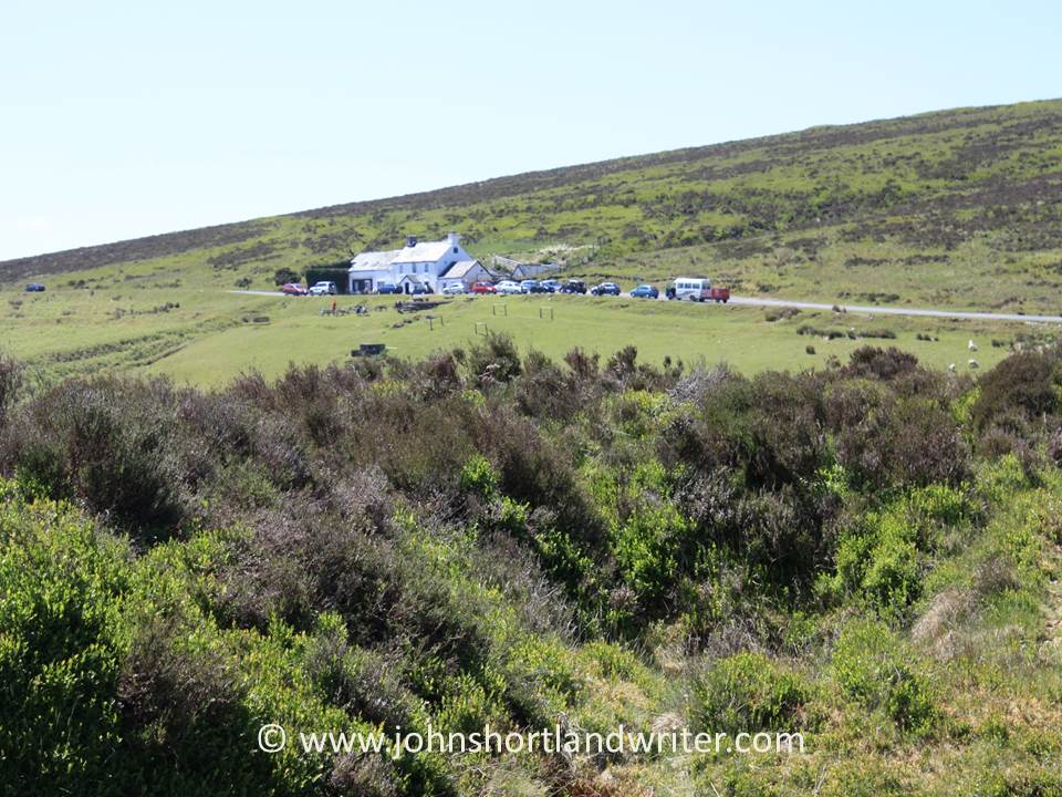
Warren House Inn copyright

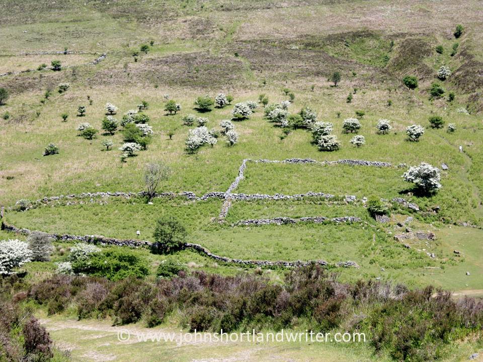
Two miles to the south-west of the inn is the village of Postbridge, famed for its ancient clapper bridge, first mentioned in 1380 and reached by a track opposite the pub.  It passes the remains of habitation for Dartmoor once had a tin mining community and these are just some of the signs of this now vanished industry throughout the moor.  The mining is thought to have predated the Romans, flourished during medieval times and also the nineteenth century before finally ending in the mid-1900s.
IMG_1121 copyrIMG_1124  copyri

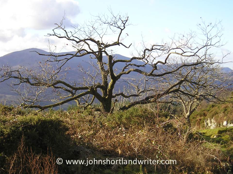
Spring comes late to this harsh environment: the few trees grow slowly and stunted.  When the moor flowers many different species of butterflies can be seen.

Stunted and sheep grazed hawthorn

Stunted and sheep grazed hawthorn

Small Pearl-Bordered FritillaryButterfly

Small Pearl-Bordered Fritillary Butterfly

As with many parts of Britain where rock lies close to the surface, drystone walls are a feature.  Unlike the soft limestone walls of the Cotswolds which use small pieces of thin, flat stone, Dartmoor’s are granite and some of the stones massive.  It is hard to conceive how they were built but the huge slabs foreshadow those that are to be found at Postbridge.
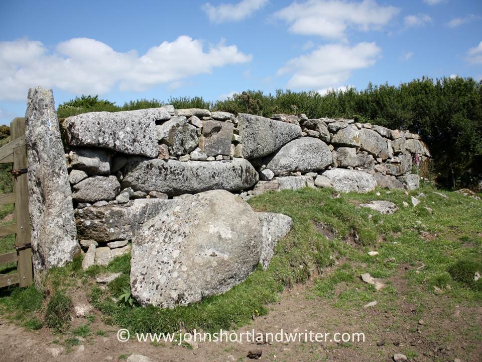
Drystone Wall   copyright

Crossing the East Dart River, the clapper bridge at Postbridge is perhaps the best known of all of these bridges in England although there are more than two hundred on Dartmoor alone.  Thought to have been built to allow carts to carry tin off the moor, the bridge is over four metres long and two metres wide.  Some of the stones weigh more than eight tons.  The village consists of a few houses, a pub and a post office and is a favouriteplace to stop  for a traditional Devon cream tea.
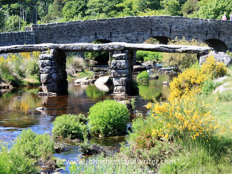
The clapper bridge with the 'new' bridge behind built in 1780

The clapper bridge with the ‘new’ bridge behind built in 1780

Postbridge 2   copyrightPostbridge 3   copyright

A riverside path heading north from the village leads into the heart of the moor towards the next stopping point, the prehistoric Grey Wethers stone circle, featured in part two of this blog.
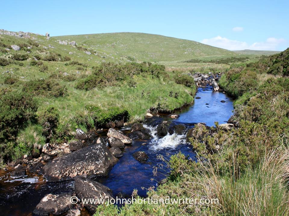
East Dart River   copyright

On the Edge of the Precipice

Snowdonia, the third of Britain’s national parks to be designated (and the first in Wales) is a popular holiday destination despite it being the wettest place in the UK.  Mt. Snowdon, Wales’ highest peak after which the park is named, is challenging to climb although thousands ascend by the easy route – using the narrow guage railway.

Far to the south and away from the crowds the scenery is still dramatic giving great opportunities for hill walking.  It is possible to walk all day with only ravens, buzzards and red kites for company.

WALES FEB 2006 006   copyright

The Precipice Path near the small town of Dolgellau is a relatively short and easy circular walk that offers spectacular views in all directions.  It is a good introduction to walking in the hills for it is well signposted and, more often than not, there are other walkers nearby.  If, like me, you prefer to walk in splendid isolation then that is still possible by starting early or late in the day and avoiding weekends.

Precipice Walk   copyright

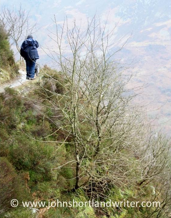
The path leading up to the precipice winds its way gently alongside woodland before climbing more steeply for a few hundred yards.  It is rocky and uneven and, as with any hill walking, strong shoes or boots should always be worn.  During the winter, this part of the path is often icy.

Precipice Walk (3)   copyright

As the path turns towards the west spectacular views of the river, the Afon Mawddach appear, set in a deep glacial valley that leads out to sea.  The path now narrows and with a sharp drop to one side – although it is quite safe small children need to be supervised and those that suffer from a fear of heights will find this stretch challenging.

Precipice Walk (5)   copyright

Precipice Walk (8)   copyright

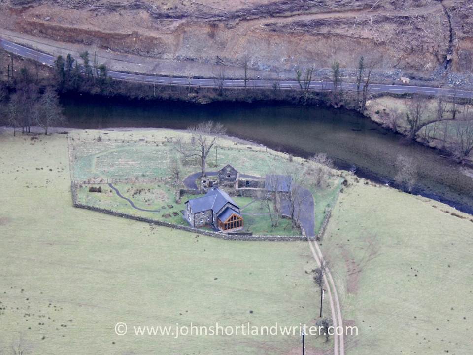
For those not worried by height the bird’s eye view of Dol-y-clochydd is fascinating especially if you are lucky enough to see the sheep being herded by the farmer and his dogs.

Precipice Walk (7)   copyright

At the halfway point, a bench marks the end of the precipice and from here there are vews of the village of Llanelltyd and of the river flowing into the sea.Precipice Walk (10)   copyright

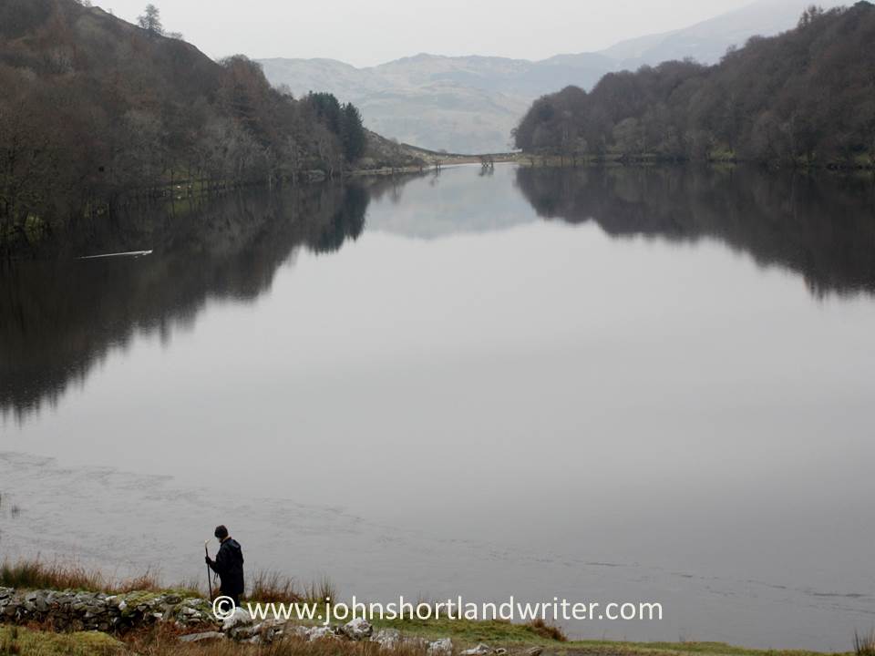
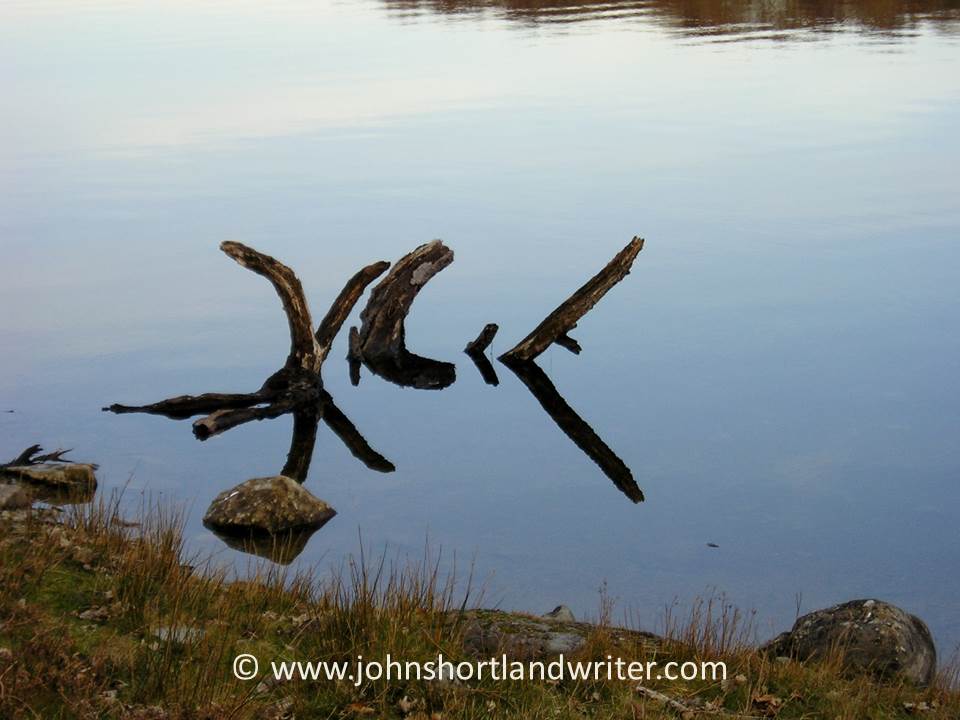
The path now turns back on itself in a wide arc before descending to the edge of Llyn Cynwch, a small reservoir with views of the mountains and crystal clear water giving superb reflections.  The path follows the edge of the lake until it returns to the starting point of the walk.  Novice walkers should allow at least two hours for completion.

Precipice Walk (12)   copyright

The Precipice Path lies within the nine hundred year old Nannau Estate and, although not a public right of way, the estate has opened it to the public since 1890.  It is a working estate and there may be sheep or other livestock roaming freely so it is necessary to keep dogs strictly under control. Precipice Walk (18)   copyright