It may seem odd that having moved from the depths of the countryside to the centre of a town that the first piece I write about after the move should be about escaping back into the wilds. It isn’t that I’m yearning for open space away from the crowds for, to my surprise, I’m finding life in Cheltenham to be remarkably exciting in ways that I didn’t expect, namely people watching, shopping and architecture (well, I half-expected the latter). What has surprised me, however, is how just yards from my front door there are ‘green ways’ that lead up into the hills. I tend to think of them as my escape routes although I’m really loving the change of pace and lifestyle, albeit it’s early days.
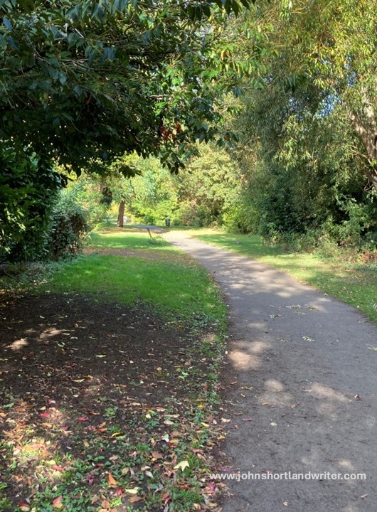
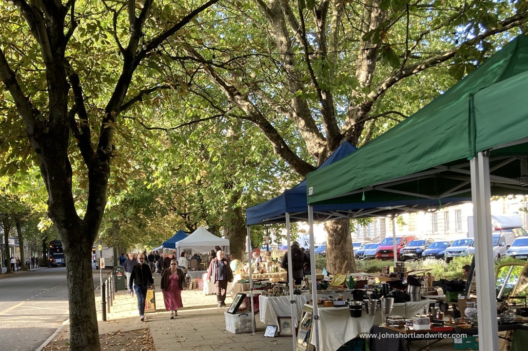
Cheltenham has a reputation of having more trees than people and I think it could well be true for the photo below of the Promenade, one of the main shopping streets in the town (and a four minute walk from our door) demonstrates this so well. There are numerous parks as well, and these interconnect with the green ways: not only do they give me a way to exit the town it also gives wild animals and birds a route to enter it. In time I shall be writing about the wildlife I come across and the parks in more detail. Suffice to say, that it is something that I hadn’t really considered: I thought I was leaving the world of deer, fox, badger and otter behind but apparently not for all live within the town centre. Of course, I’m not trying to pretend that I don’t have to walk along pavements and sometimes busy roads as well, it is just that I had assumed that would be my only option to reach open country.
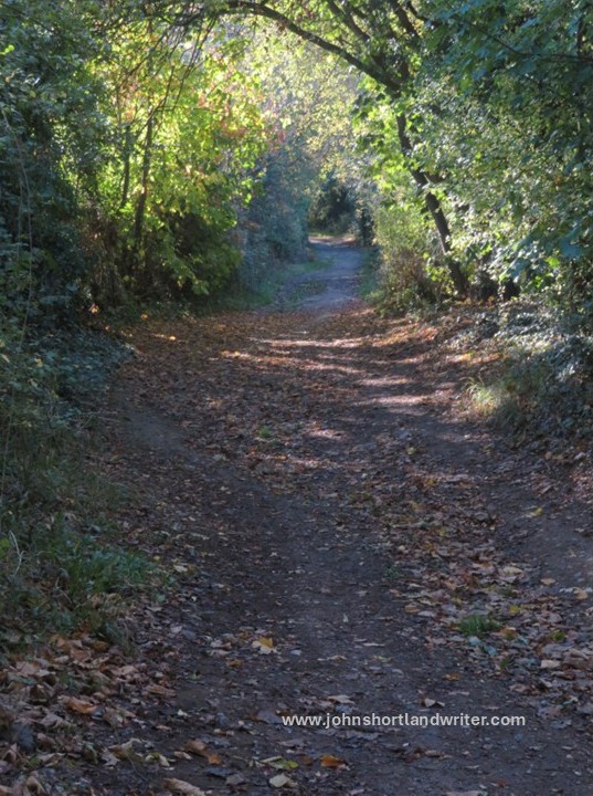
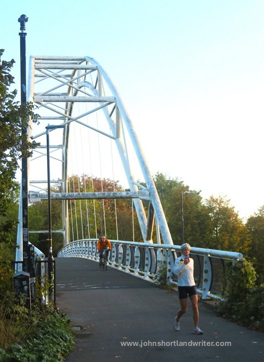
The path that is so close to my new home, known as the Honeybourne Line, started life in the mid-1800s as the branch line of the railway bringing in services and visitors into the heart of the town. When it closed in 1976 the station was demolished (it’s now the site of our local Waitrose supermarket) and the area gradually became forgotten and overgrown. It wasn’t until the Millenium that various groups and the town council began to clear it to create a traffic-free walking and cycling route. When finally completed it will link several local towns and communities along its 26-mile course.
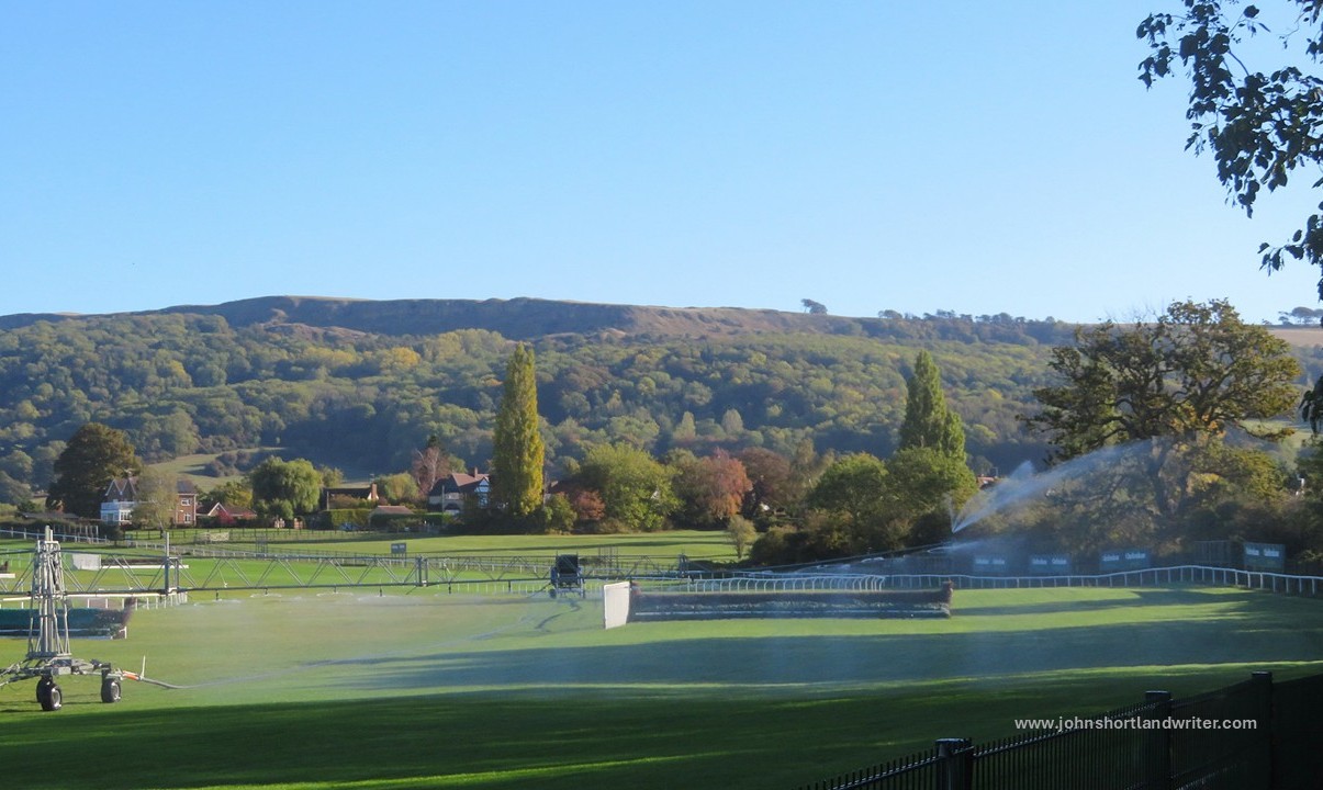
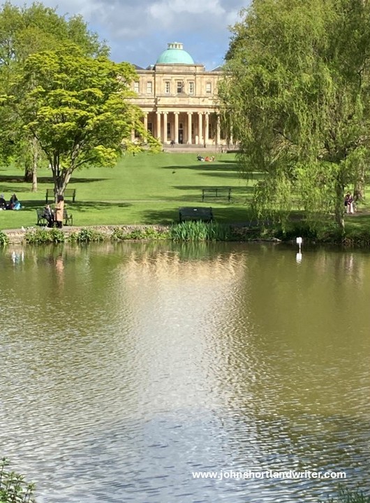
My first venture along this path took me northwards to the racecourse. Cheltenham is famous for its horse racing and it is here, each March that the Gold Cup, one of the world’s major sporting events is held. On the day that I walked there was no racing and so I had the place to myself. A public footpath alongside the gallops would have lead me high into the (Cotswold) hills but I chose to turn towards the town, this time choosing a route through Pitville Park with its beautiful lake and spa building. There will be other days, I thought, when I can climb the hills.
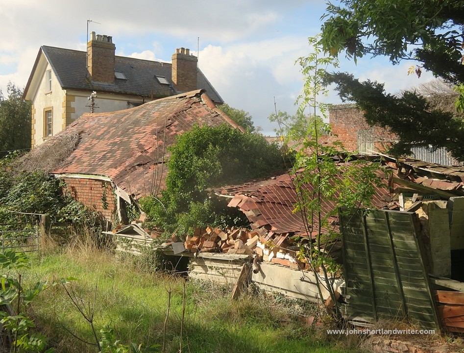
For my second walk I tried to find a way west and although I finally did reach farmland to walk over, this route involved just a few too many roads for my liking. However, I was rewarded with hazy views of the Malvern Hills and also by stumbling across a mid-length long-distance path known as the Cheltenham Circular Path. This, I have since discovered, starts at Pittville Park and would have taken me on a much nicer and quieter route out of town. A little further on I came across a derelict farm to explore before finding myself back on a stretch of the Honeybourne Line to lead me back home.
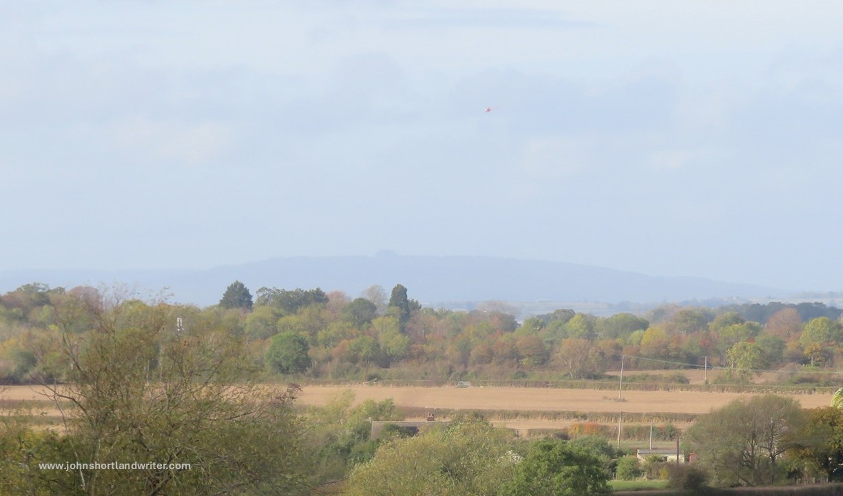
a solitary outlier of the Malverns over 15 miles away
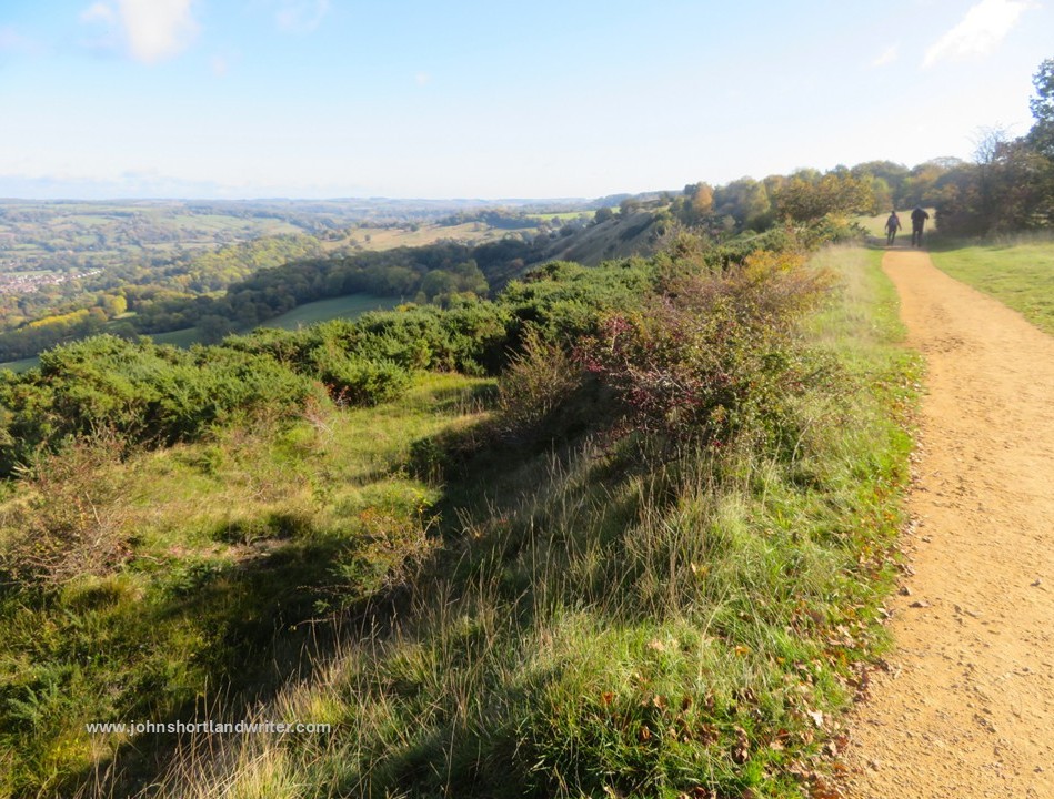
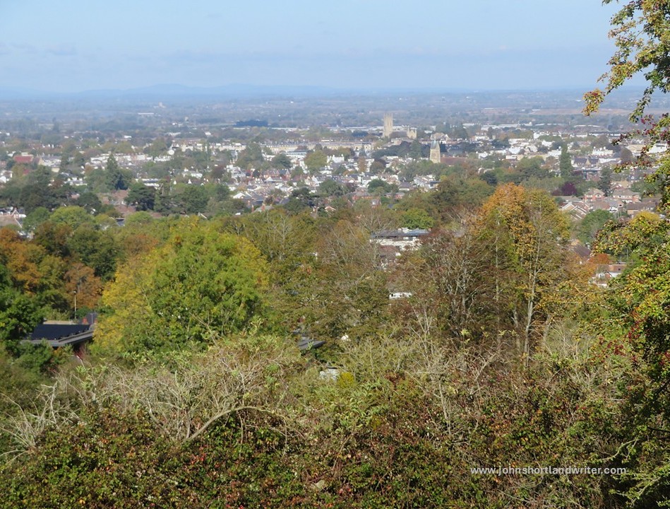
The third walk was through a different park – Sandford Park. This was also a surprise for the path followed the course of the little River Chelt and led through well-maintained gardens before opening out into a much wilder part of the park, kept that way as part of the flood defences for the town. Rather like the little winding river back in the secret valley the Chelt can rise very rapidly after heavy rain. As with my first walk, I thought I would leave exploring the hills for a later date, but it was such a glorious day and the path so tempting that I climbed the 900 feet to the top. There I was rewarded by stupendous views of not just the Cotswold and Malvern Hills but also, way off in the far-distance, the misty shapes of the Long Myndd and Shropshire Hills, fifty miles away. It is also here that my path linked to the Cotswold Way, another National Trail of over 100 miles length so the possibilities are literally endless.
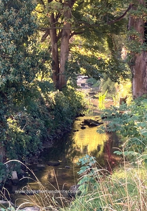
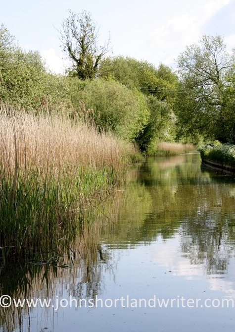
– a tranquil stretch of the River Chelt by Sandford Park
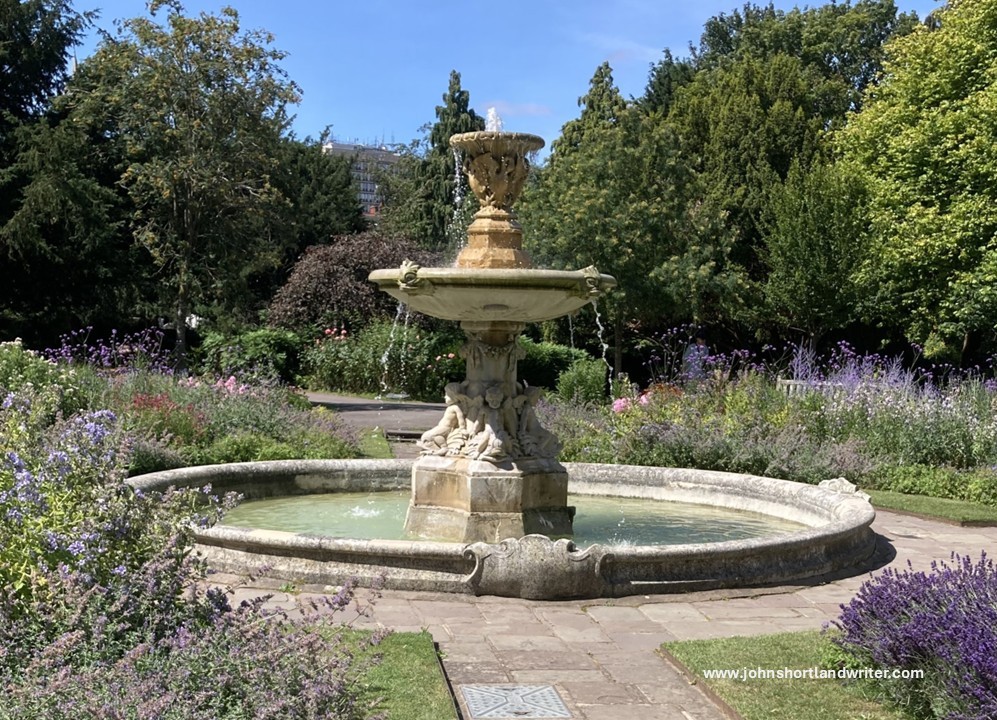
When I was a young man before the responsibilities of home ownership, career and all the other things in life that get in the way, I used to spend a lot of my time walking these long-distance paths. Now that I have finally retired, I’m looking forward to spending much more time clocking up the miles although I doubt I shall be walking the 25 miles a day I would do in my youth. Moving to a new area, although still in the Cotswolds, there is much to explore both in the town and the country. The town with its rich history of its development as a spa in the 1800s when the fashionable and wealthy came to ‘take the waters’, the hill country and its villages or the vale of the River Severn – England’s longest river – will give me plenty of walking opportunities and plenty to write about. I can’t wait to get going!