A Tour of the Secret Valley

Ask people – both here at home or abroad – how they imagine Great Britain to be, the answer is often the same: an overcrowded island. We do, of course, have our fair share of big cities, motorways and densely populated housing estates but it often comes as a surprise just how much unspoilt, open countryside remains. A few of us are lucky enough to live in it.
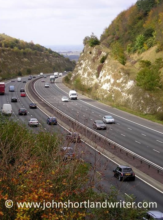
m40-stokenchurch-copyright

The M40 motorway where it enters Oxfordshire
rollright-stones-9-copyright

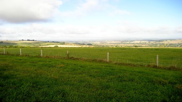
Less than two hours drive from the centre of London, the secret valley, seems more like a million miles away rather than just the eighty odd miles that, in reality, it is. Tucked down an unclassified side road and not shown on a number of maps, only those ‘in the know’ tend to visit it. Time for a quick tour.

secret-valley-3-copyright

The Secret Valley

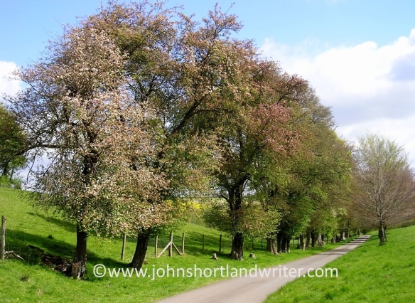
The approach to the secret valley gives little hint of what’s to come. Lined with crab apple trees, the lane gently descends between a fold in the hills where, on the steepest banks, wild thyme, orchids and other wild flowers grow.
secret-valley-2-copyright

A bend in the road conceals the valley’s crowning glory: the most perfect, easily jumpable river (as can be seen in the header image of this blog page). Twisting and turning as it passes through meadows, in its shallows watercress grows where both trout and crayfish hide. By its banks willow pollards, now elderly and bent, wear garlands of wild roses; they grow from the tree crowns courtesy of seed dropped by birds generations ago.

willow-and-wild-rose-copyright

The lane, crossing the river, passes our tiny stone cottage and climbs towards the village – a cluster of nine houses, a farm and little else. Our home sits alone, down by the river bank, with just one other as companion. Here, the lane – barely wide enough for a combine harvester to pass – once was busy with drovers taking their cattle and sheep to the markets in Oxford.

combine-harvester-copyrightcotswold-traffic-jam-copyright

These days the drove road enters and leaves the secret valley by a different route, only its mid-section by our house is still in use. The ‘old road’, as it is known, can still be walked – its path clearly defined by the wild flowers and hedgerows that line it.

old-road-2-copyright

The river, too, has chosen a different route according to the earliest maps. Downstream from our house, it flows past wooded banks to widen into a small lake before passing through fields, these days marshy where the watermill’s sluice gates have decayed with age.

old-sluice-copyright

Further downstream still, where the sheep cannot graze, swathes of scented, moisture loving plants such as wild valerian – looking very different from the one grown in our gardens – provide nectar for insets and a hiding place for deer.

meadowsweet-valerian-copyright

a forest of Valerian & Meadowsweet

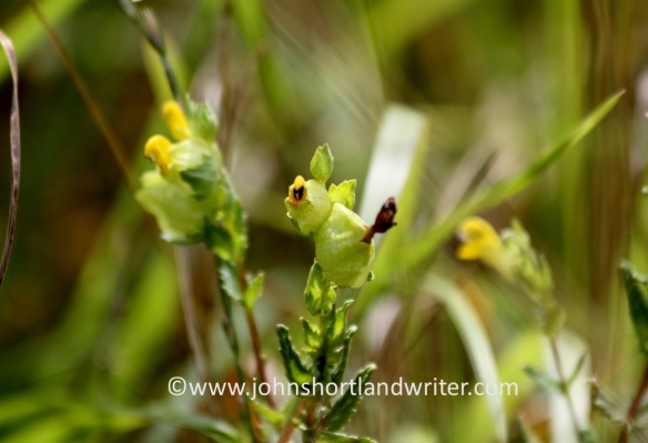
On the higher ground of the secret valley, the fields are cultivated with wheat, barley and oilseed rape. Even here, in the favoured places, wild flowers and birds of many types can be found: the diminutive hay rattle, a relic from the old farming days to ravens, buzzards and red kites, all now common again after centuries of persecution.
yellow-rattle-copyright

red-kite-6-copyright

Red Kite

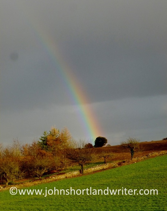
Sounds idyllic? You’re quite right – it is!
rainbow-2-copyright

Visiting Canyon de Chelley

For most people living outside the United States – and perhaps a large number of Americans too – the word ‘canyon’ sums up the deep and stunningly beautiful chasms of the Grand Canyon.  Certainly, for me, so familiar with those dramatic images from my earliest schooldays, television documentaries and travel journals, I had never considered that there might be any others.  Or that they could be very different in character.  Then I visited the Canyon de Chelly (pronounced ‘dee shay’).

Canyon de Chelly copyright

The Canyon de Chelly National Monument is located in the north-east of the state of Arizona and fully within the Navajo Nation.  Today about forty Navajo families live there.

Canyon de Chelly (2)   copyright

Unique amongst the National Parks, the Canyon de Chelly is privately owned by the Navajo Nations Trust and is jointly managed by them and the National Parks Service.  This arrangement was agreed after many years of negotiation in 1931.

Canyon de Chelly (3)   copyright

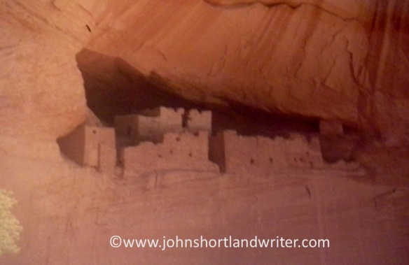
Strict controls on entry are enforced to preserve the floor of the canyon with most parts  accessible only when accompanied by a Navajo guide.  One trail, the White House Ruin Trail, is an exception and it is the one that I explored, now a number of years ago, hence the rather poor quality of the images.

Canyon de Chelly (7) copyright

Long before the Navajo came to the canyon it was occupied first by the Anasazi and then the Hopi peoples making the canyons one of the longest continuous inhabited places on the continent.  These early peoples built their homes not just along the valley floor but also in niches hundreds of feet up in the sheer rock face, reached by toeholds in the rock.  The ruins are now preserved.

Canyon de Chelly (5)   copyrightCanyon de Chelly (4)   copyright

Sadly, I had very little time to explore the canyon but for my visit the weather was perfect, warm and sunny.  On the drive leaving Arizona, we were caught in a duststorm – another new experience for an Englishman used to the benign British climate where extreme weather of any kind is virtually unknown.

Canyon de Chelly (6)   copyright

For further information:
Canyon de Chelly National Monument

History of the Canyon de Chelly

Visiting Canyon de Chelly

France in the Slow Lane

Everything about the compact town of Lombez oozes history and Gallic charm; its narrow streets are lined with ancient buildings. Discovering it as we did by chance confirms the principle of always taking the slow route – drive along motorways and you miss so much.

Lombez (21)   copyright

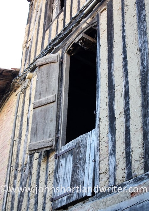
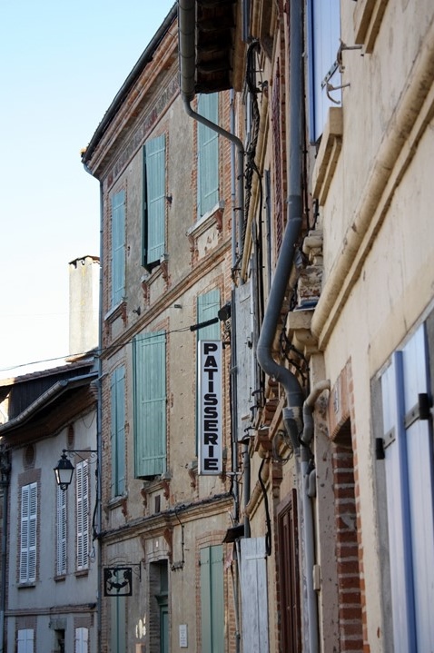
Walking through Lombez takes you back to a time when life too was slower; amongst its buildings are images that conjure up the France portrayed by the great artists – rich colours, faded paintwork, closed shutters keeping out hot sunshine.Lombez (22)   copyright.jpg

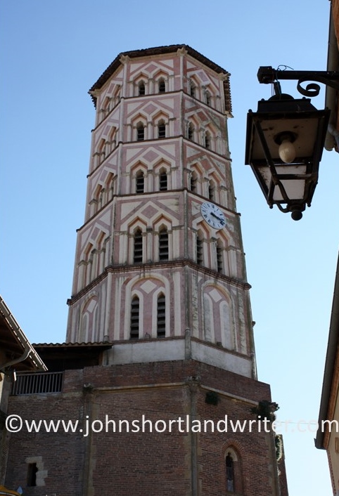
Dominating the town, the pink and white octagonal bell tower of the fourteenth century cathedral is in ornate contrast to the austere façade of the brick built body of the church. The severity of the style accentuates its height and gives no hint of its splendid interior.

Lombez (4)   copyright.jpgLombez (18)   copyright.jpg

Fine stained glass, some dating back to the 1400s, marble altars, decorative carvings and statues all demand careful exploration and give good reason to linger inside away from the summer heat.

Lombez (10)   copyrightLombez (16)   copyright.jpg

The cathedral is a listed monument historique and preservation work of the exterior was being carried out during our visit. With such an ancient building, work is on-going and there are areas of the interior that still have to be restored, although they do have a special charm and serenity about them that may be lost when renovated.Lombez (11)   copyright.jpg

Stepping back outside, the sun appears to be even brighter than before and gives an excuse to find a bistro for a cold beer. Unlike the UK, where bars and coffee shops crowd the pavements to draw in the visitors, outside the cathedral there are few signs of life and very little traffic. This part of France remains true to its laid-back style and does not woo the tourist: when in Lombez behave like a native – stay calm, slow down, relax.Lombez (6)   copyright.jpg

Lombez is in the Gers region of southwest France, 55km west of Toulouse and within sight of the Pyrenees Mountains.